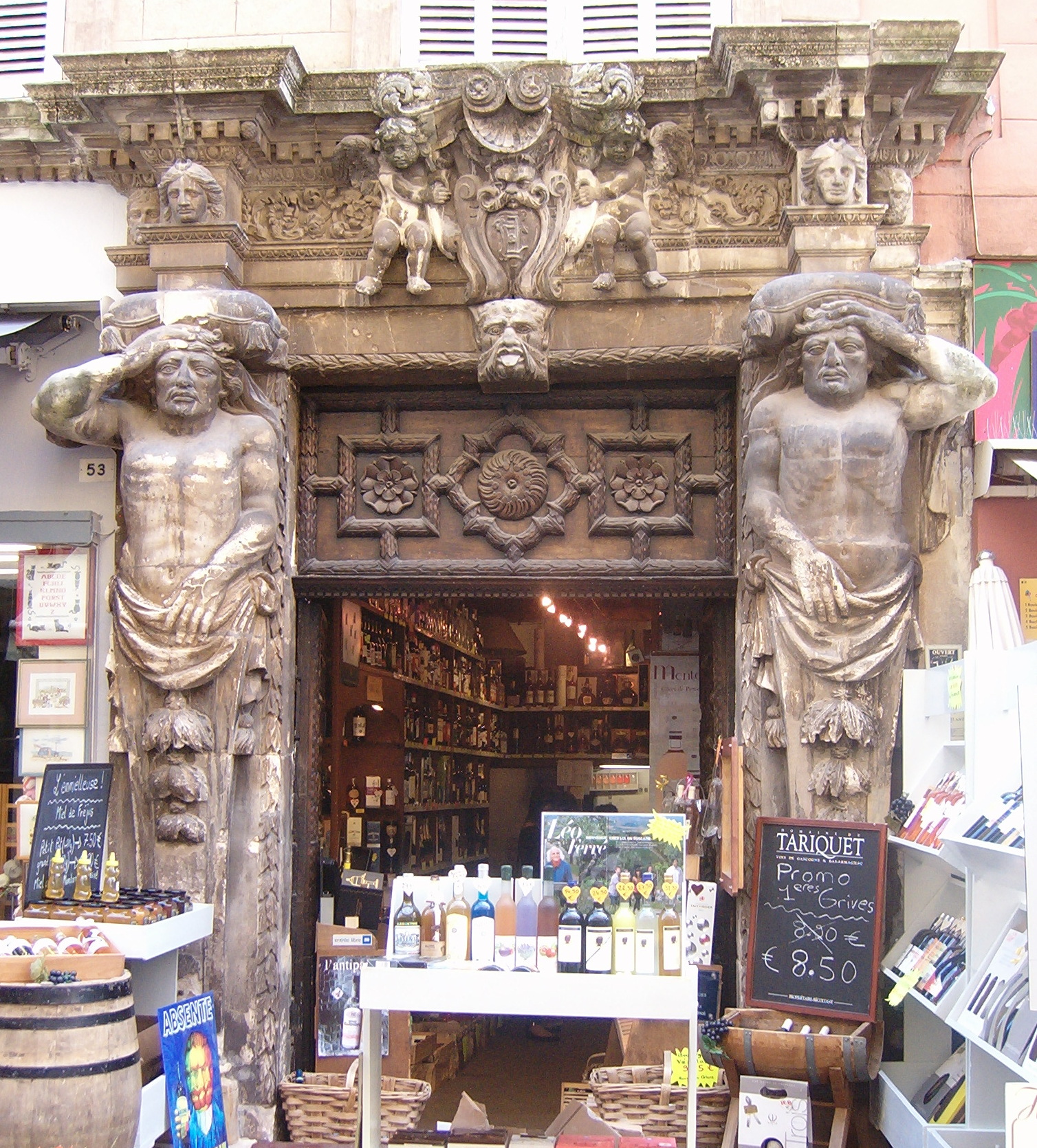
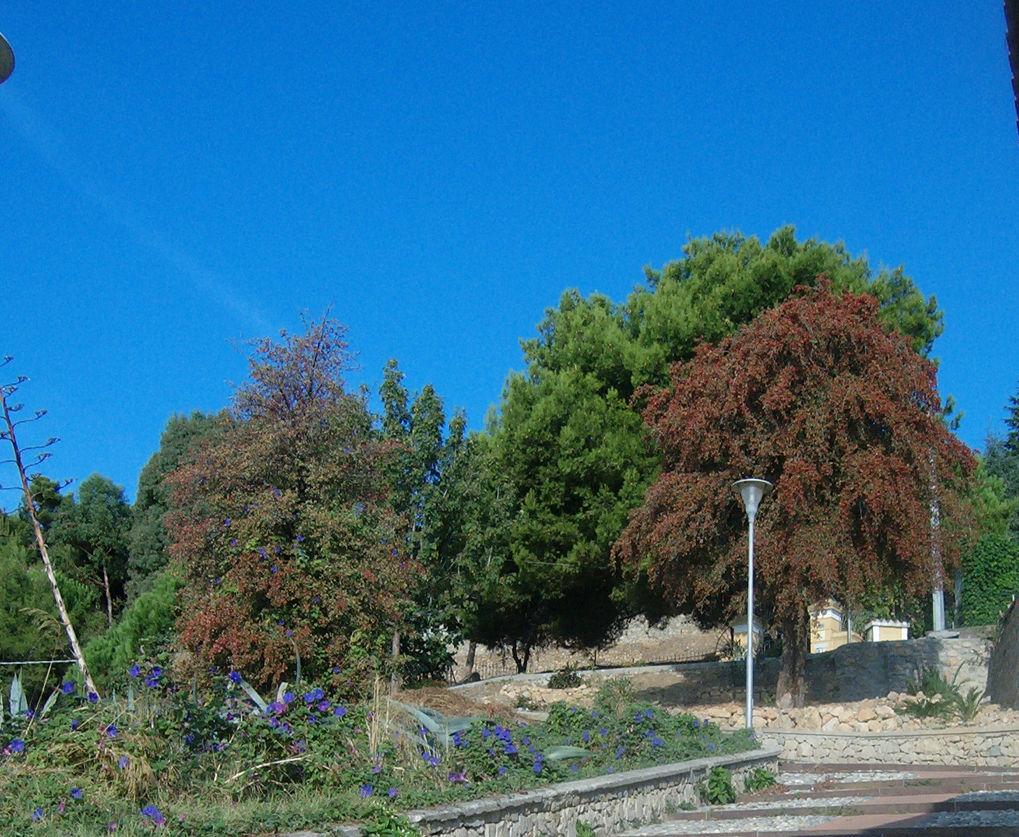
There’s something about a steam engine that brings out the kid in a lot of us and if we’re regular train users as well, rumours that one of our favourite rail links is in danger of closure really gets us protesting. Combine the two and a great day out is a certainty. The railway line that runs for almost 100 kilometres, north up the Roya River Valley from coastal Ventimiglia, via Breil sur Roya, Tenda and Limone to Cuneo in southern Piemonte passes through spectacular, mountainous terrain.

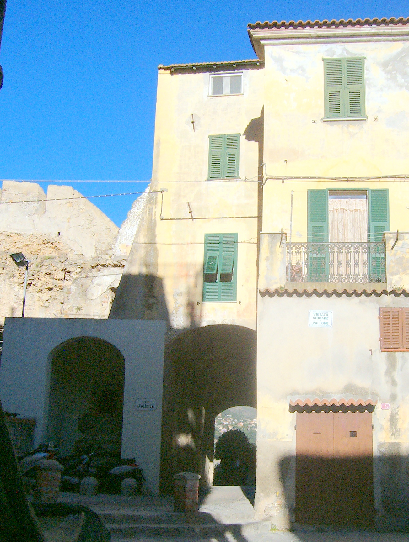
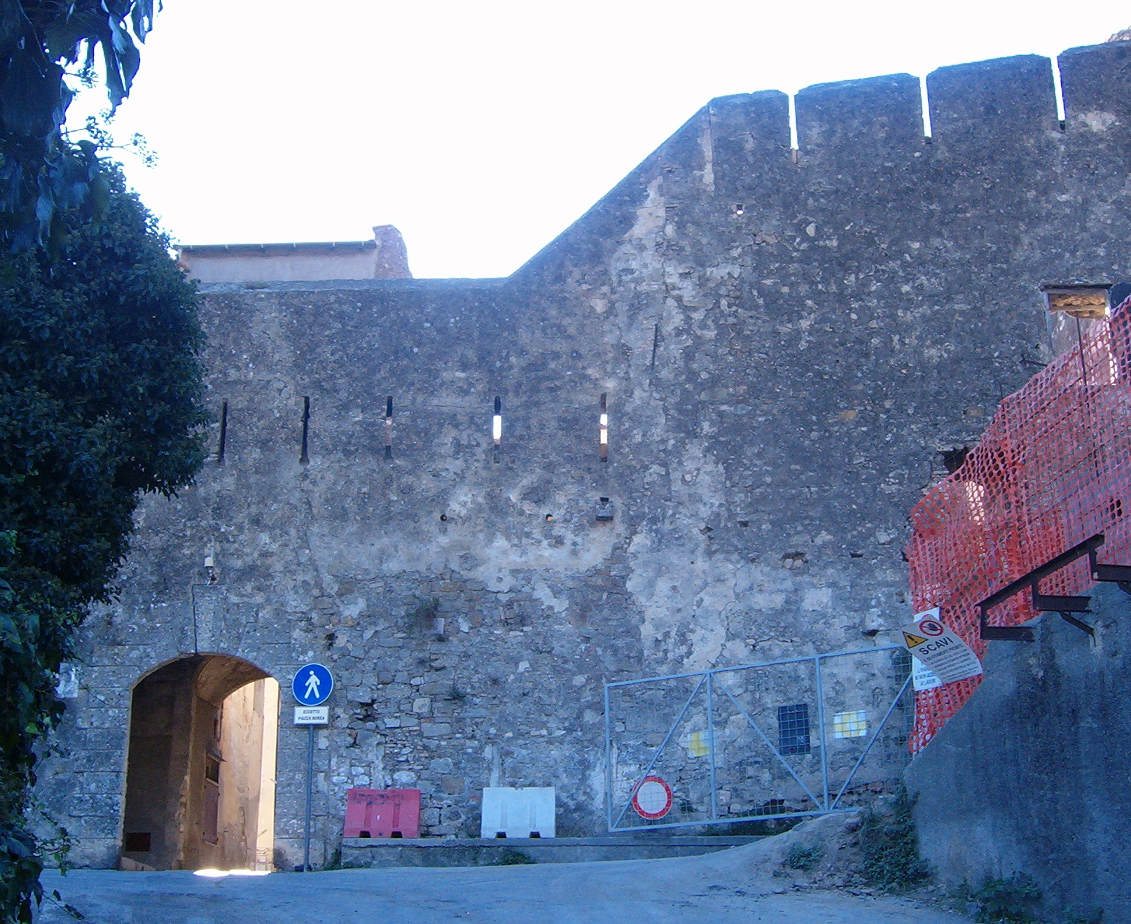
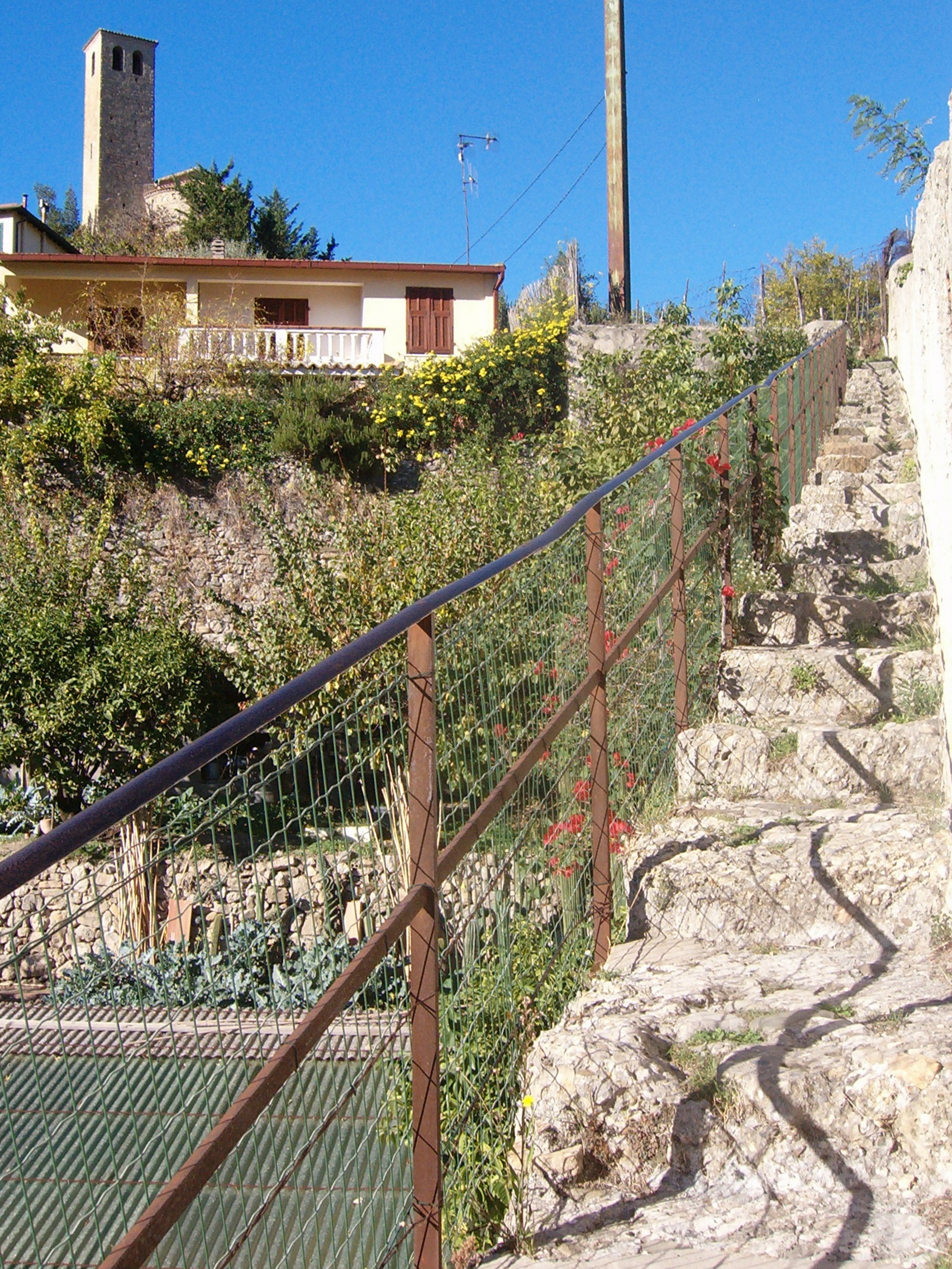
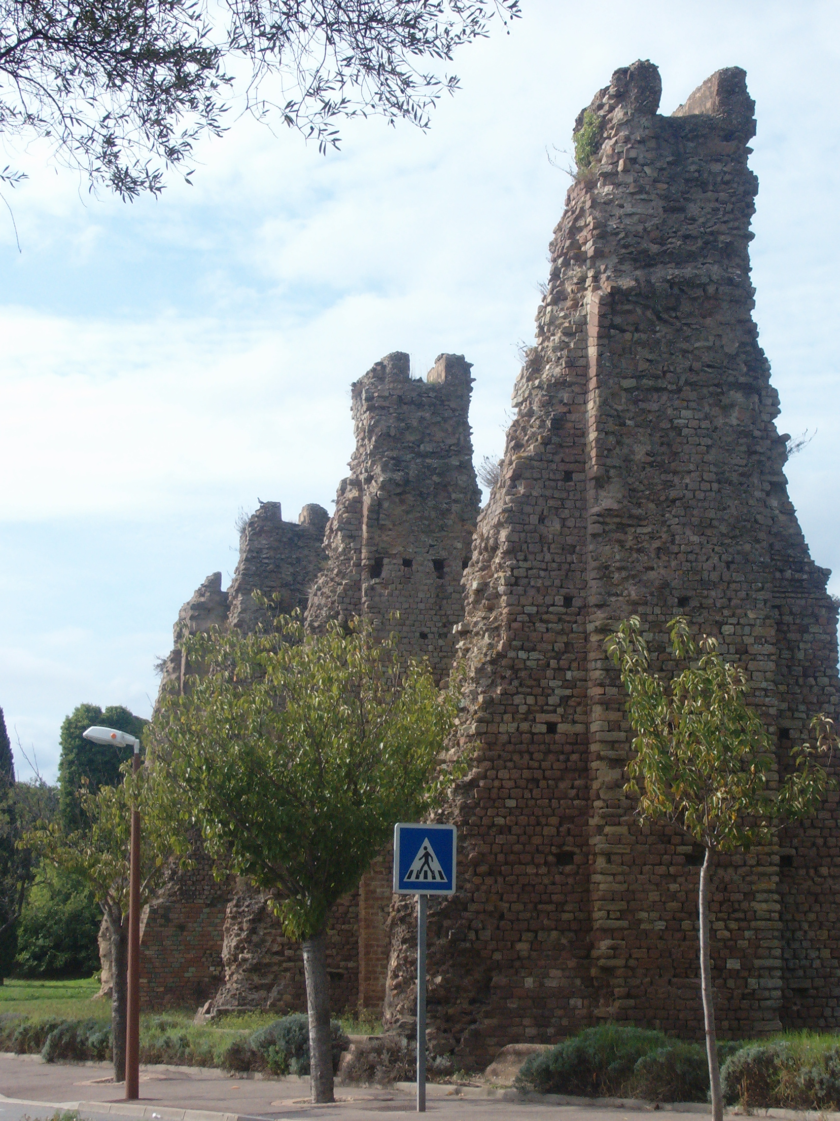
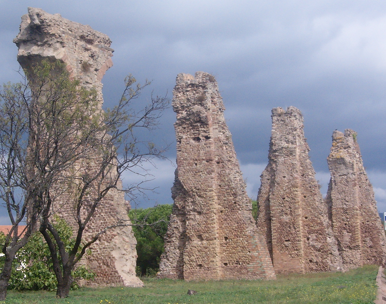
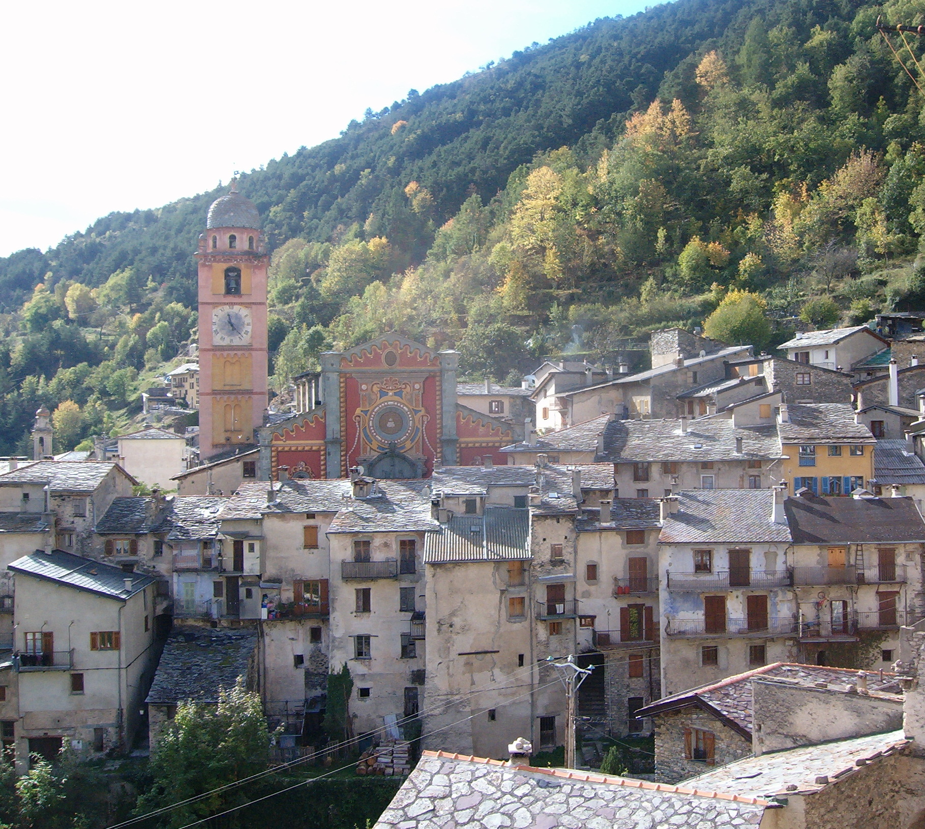
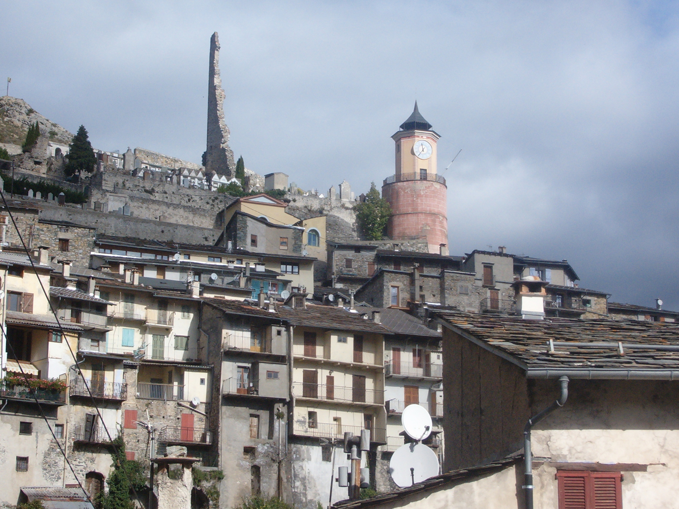
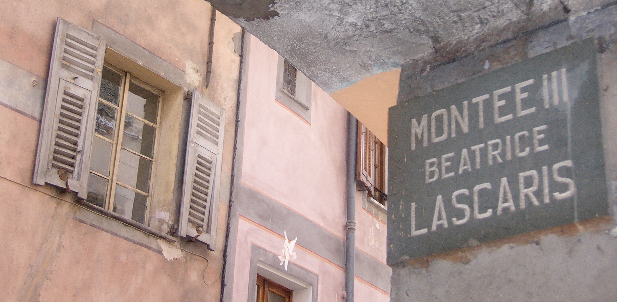
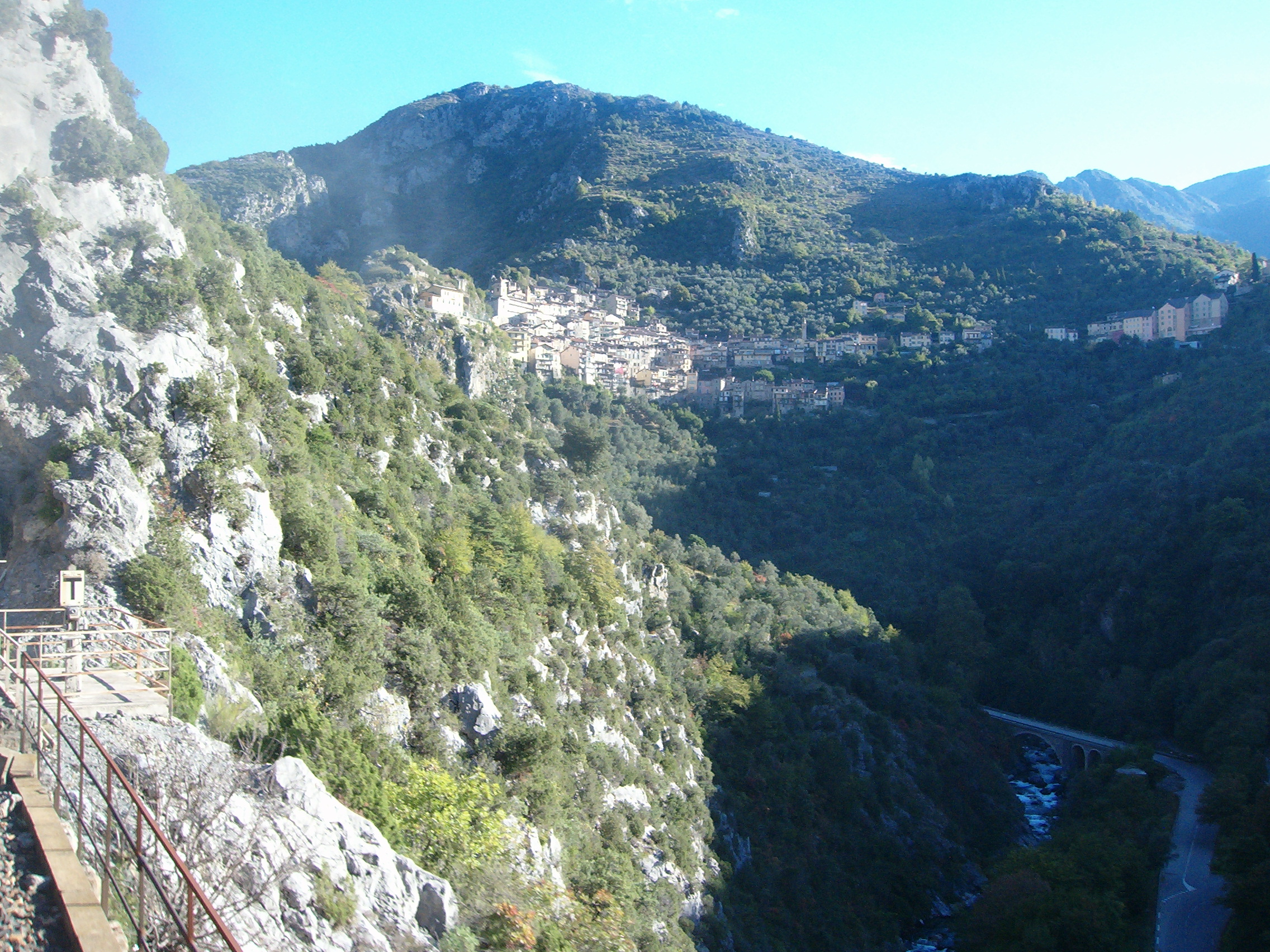
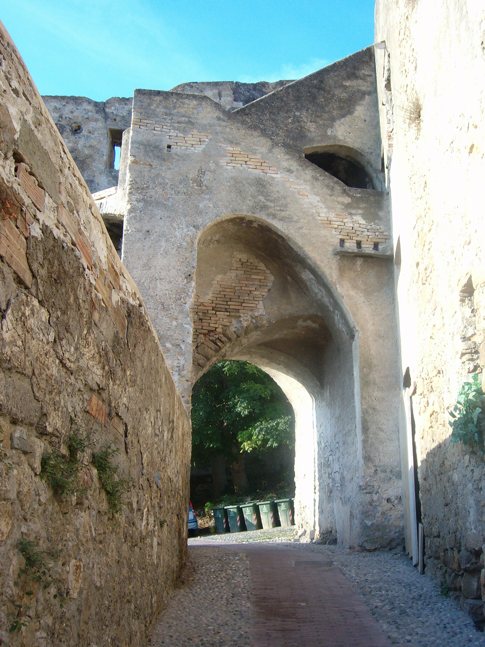
Saorge – clinging precariously to the mountainside
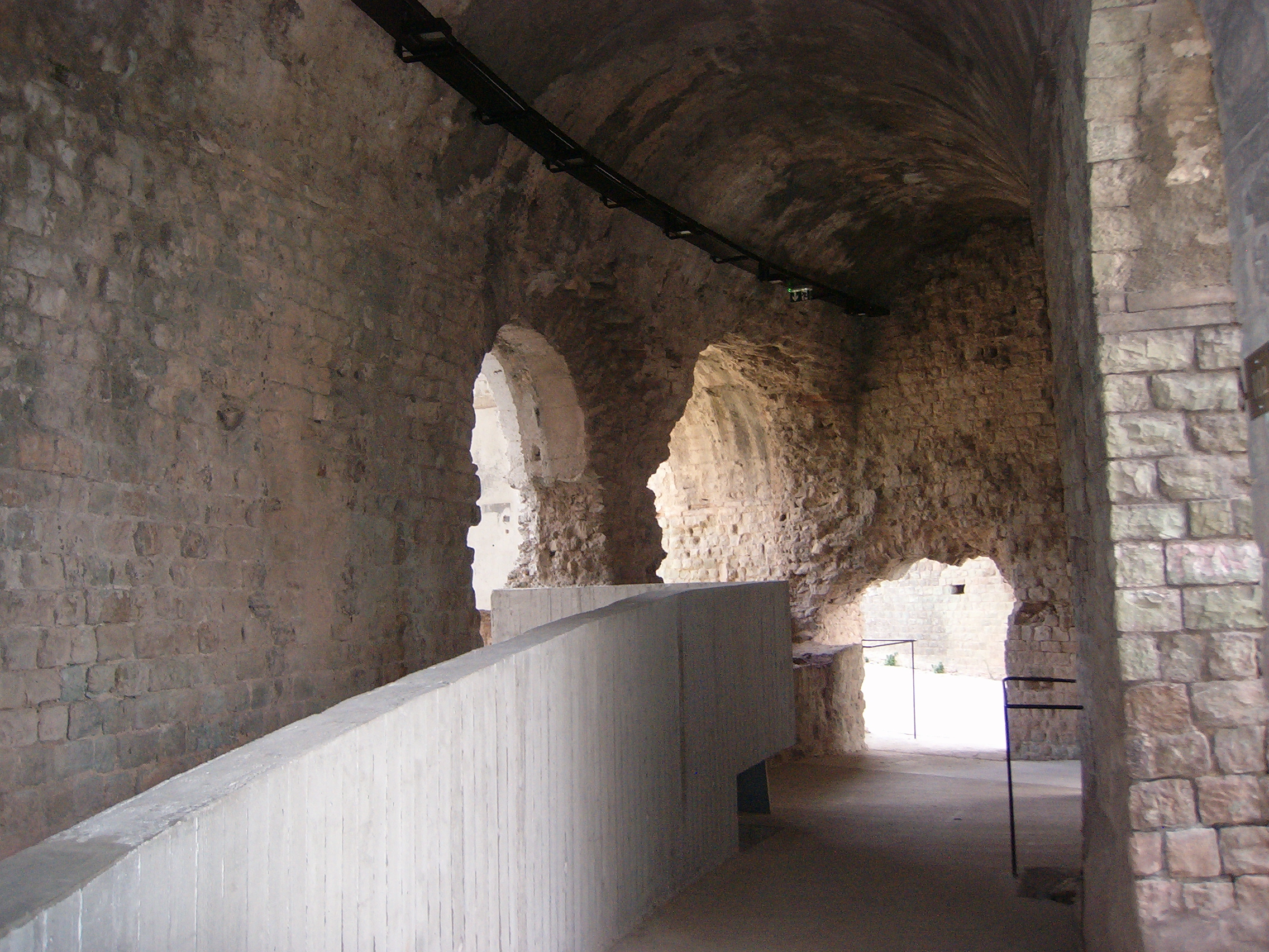
It lifts passengers from sea level to an altitude of 1,040 metres, over almost 400 bridges and viaducts and through 81 tunnels, four of which spiral around inside the mountains. It is the only railway line in Europe that conquers such steep gradients with regular gauge tracks rather than narrow gauge or cog-rail. In spite of all this, it is not only a scenic, touristic feature – it is a life line to the people who live along its route.

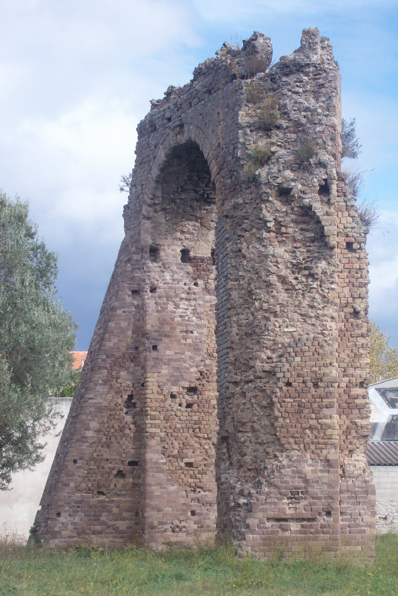
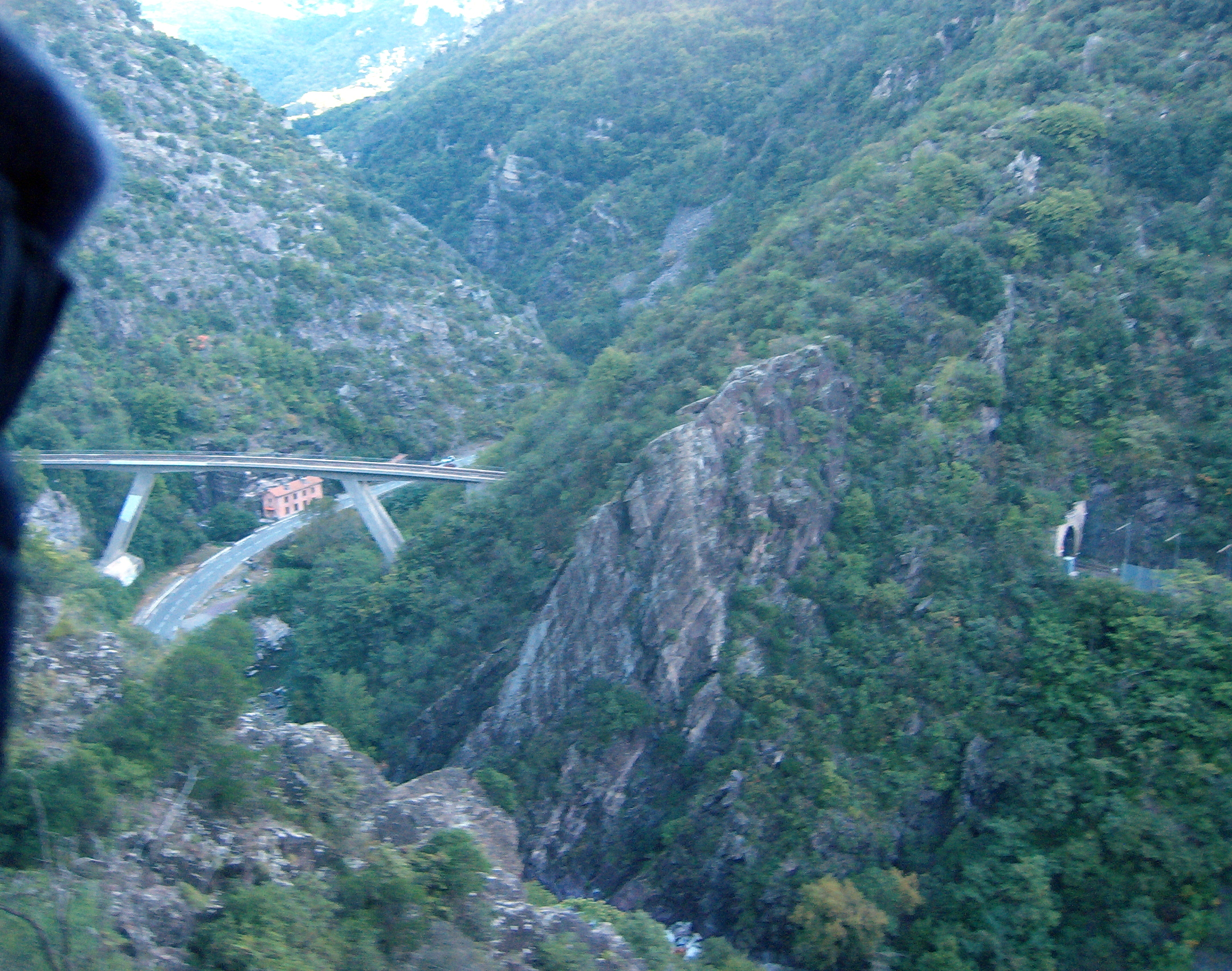
Coming out of the Berghe spiral tunnel, the Scarassoui Viaduct over Highway20 is 70 metres below. This bridge replaced the original one which was destroyed during World War II.
The story of its construction reads in many respects like the last 160 years in the history of western Italy and neighbouring southeastern France. Train travel was still a novelty in the mid1850s when the idea was first put forward for a railway line running from Turin, the capital of the Kingdom of Savoy, south across the plains to Cuneo and from there up the Vermenagna valley, through the Maritime Alps and down to Nice, which at that time was still part of the Kingdom of Savoy. In 1860 the border between France and Italy was redrawn: Nice became part of France with the new border just a few kilometres west of Ventimiglia. Around the same time the kingdoms, dukedoms and states which had until then populated the Italian peninsular were united as the Kingdom of Italy. Nice lost its importance for Italy so the new rail route (still on the drawing board) was redirected through Cuneo to Ventimiglia. The first short section of the line, to the outskirts of Turin, was inaugurated in 1848 and by 1870 it had reached Cuneo relatively easily across fairly flat, open country. From Cuneo the need for tunnels and bridges to negotiate the Alps all the way to the coast slowed progress down: another 21 years to 1891, to cover 30 more kilometres to Limone and a further 22 years to tunnel 8.1 kilometres through the highest point in the mountains – the Col di Tenda – and to descend another 10 kilometres to Tenda, the first small town on the southern side of the Alps, reaching there in September 1913.

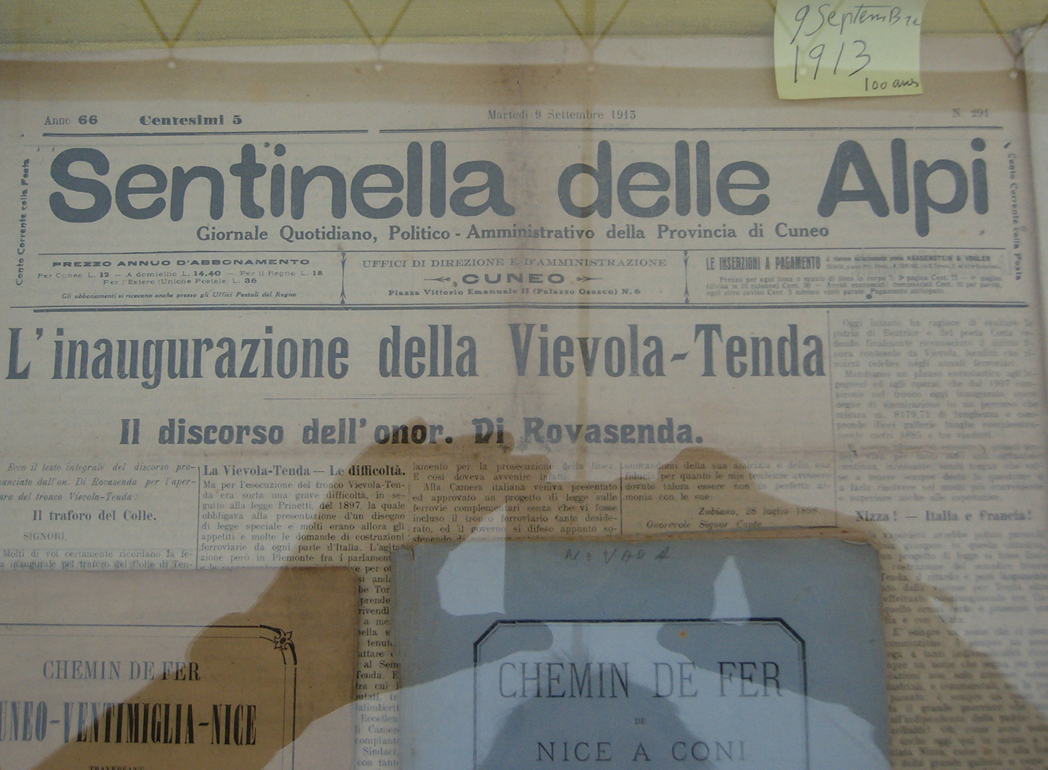
A newspaper article from September 1913 celebrating the inauguration of the last section of the line from Cuneo to Tenda.
At the same time as the line was being lengthened it was also gaining dramatically in altitude: from 239 metres above sea level in Turin and 541 in Cuneo to 1000m in Limone, 1040m at its highest point inside the Col di Tenda tunnel and then steeply down 822m in Tenda.
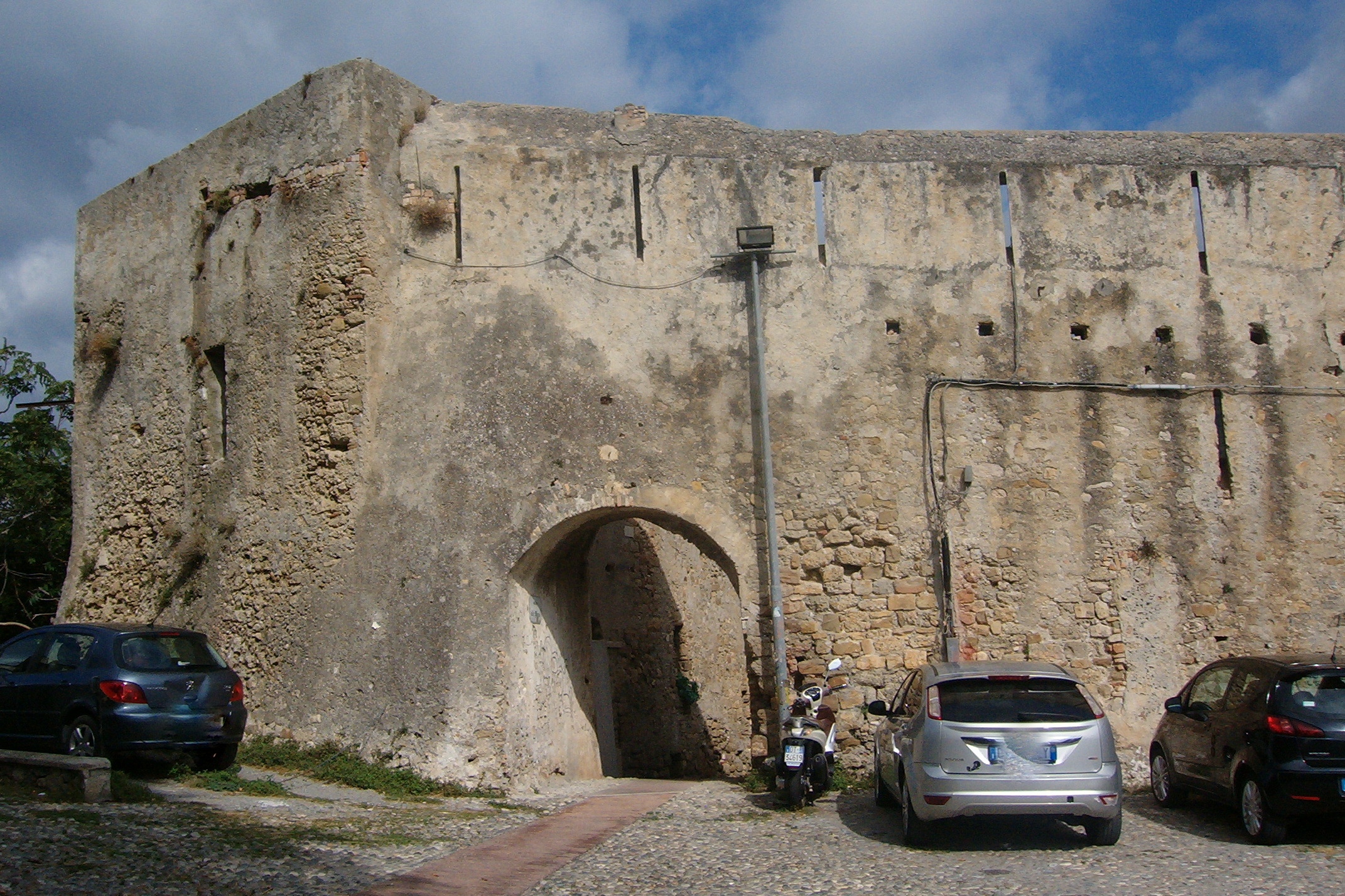
While the line was creeping southwards from Cuneo to Tenda, work had begun in Ventimiglia on the northbound line up the Roya Valley. However, by the outbreak of World War I it had only covered 20 kilometres to Airole. Meanwhile, and again interrupted by the war, another line was being built northeast from Nice to join the Cuneo-Ventimiglia line at Breil sur Roya. Finally in October 1928 the lines were all completed – the celebrations must have been fantastic events. At last the small towns and villages along the route had access to jobs, schools and universities, cultural activities, hospitals … everything the cities had to offer. This massive station at St. Dalmazzo di Tenda was built when the village was still in Italian territory (before 1947).
The line’s history doesn’t end here though. During World War II many of its bridges were destroyed – some to be rebuilt and then blown up again. In 1947 the French-Italian boundary was redrawn once more: all the villages from the southern end of the Col di Tenda tunnel to Breil sur Roya became French. What had been a line through Italian territory now started in Italy, passed through an eastern corner of France and then back into Italy! The two nations’ political differences were eventually overcome and in 1979, again with great festivities, the line was reopened.
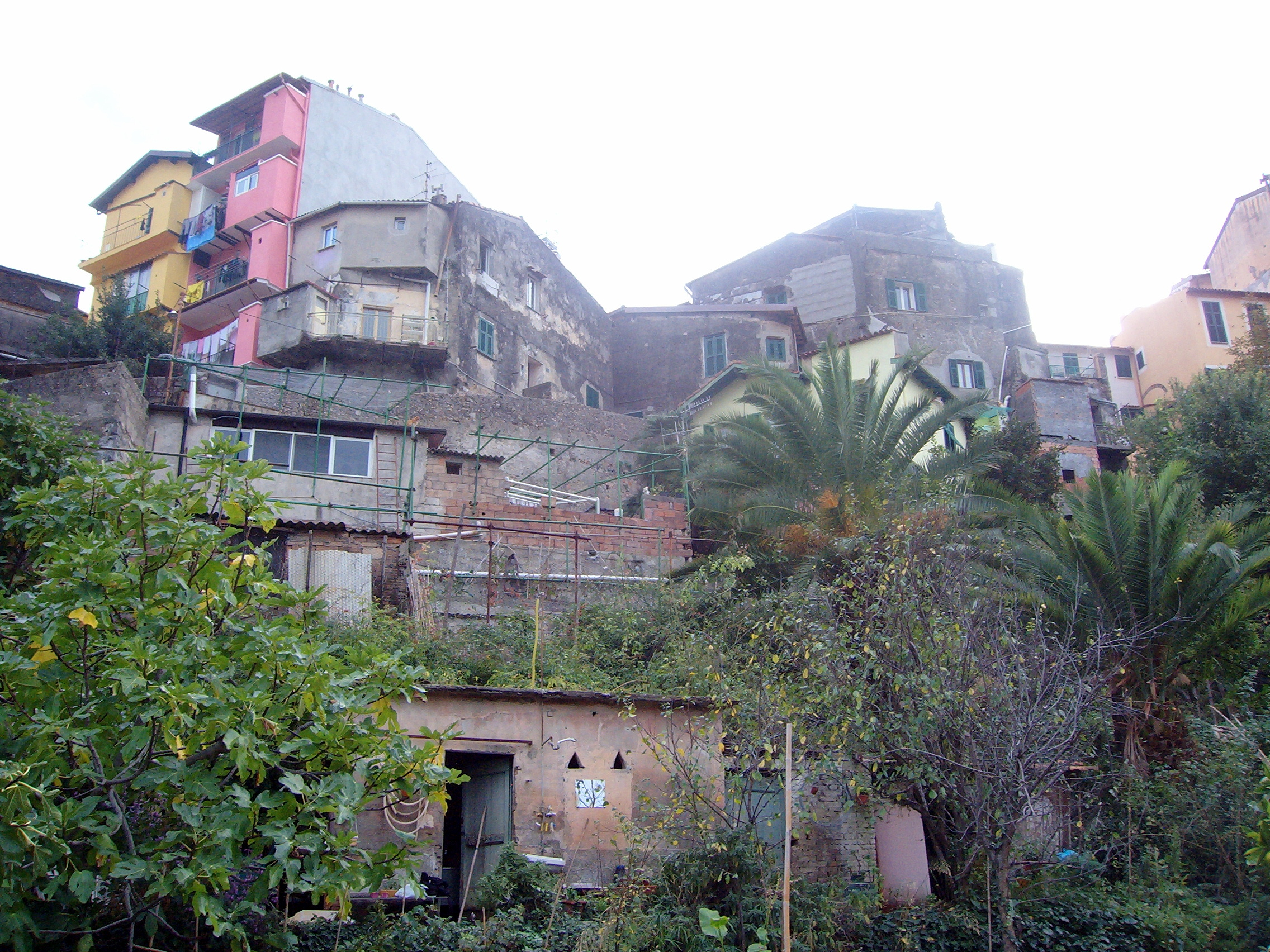
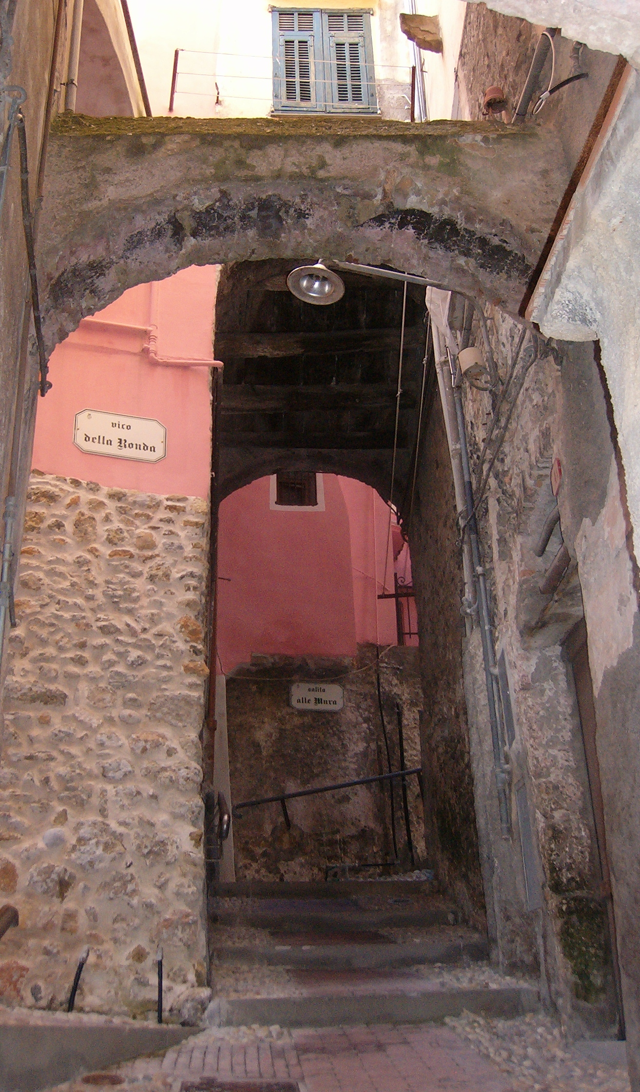
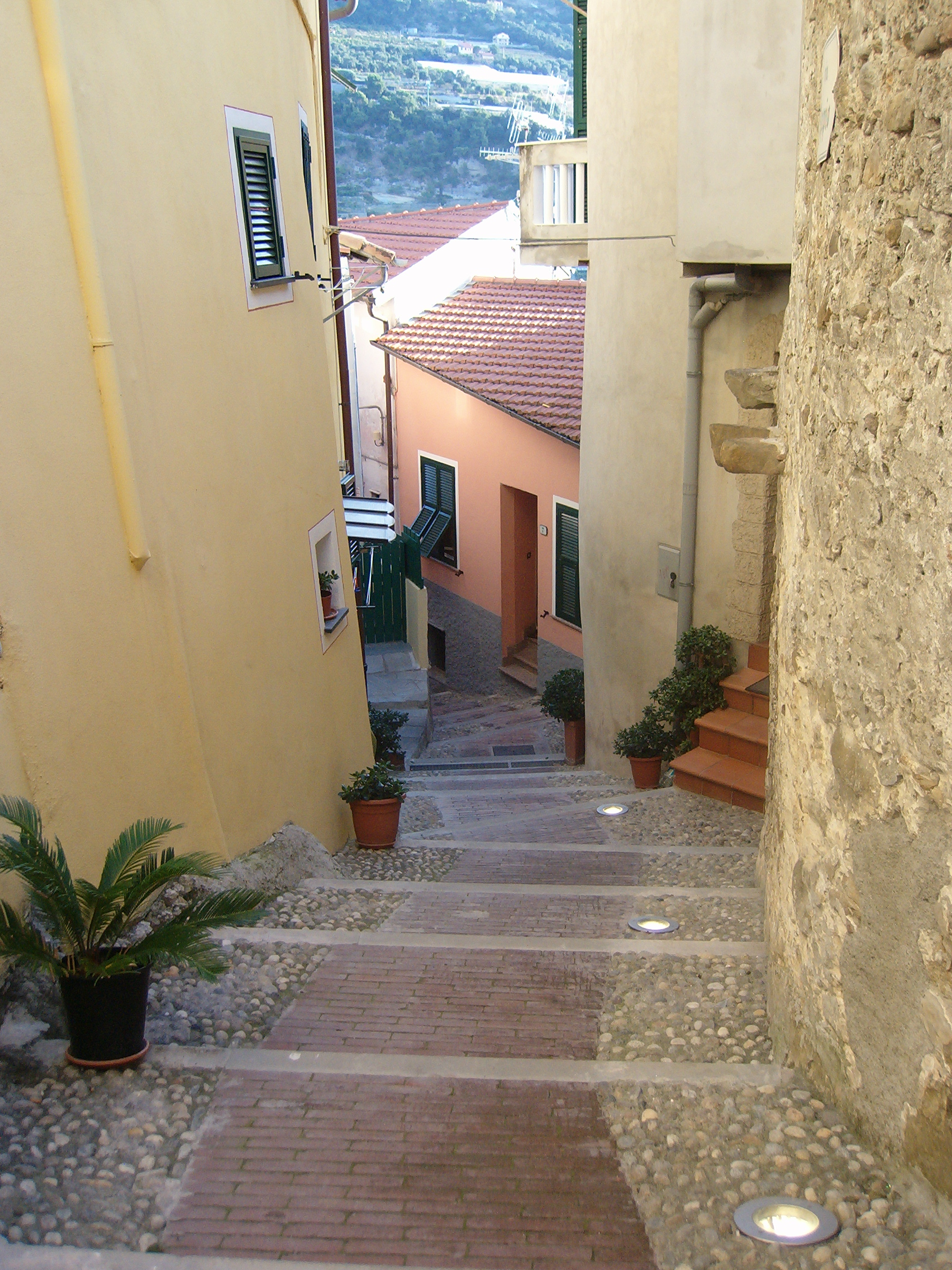
Mainly following the course of the Roya River from Ventimiglia to Tenda, the Vermenagna Torrent from Limone to Cuneo and the narrow, winding ribbon of highway 20, and with so many attractive and interesting villages along its route, the line is, in spite of the not inconsiderable time spent in tunnels! – an attraction in itself – not to be missed when visiting this area.
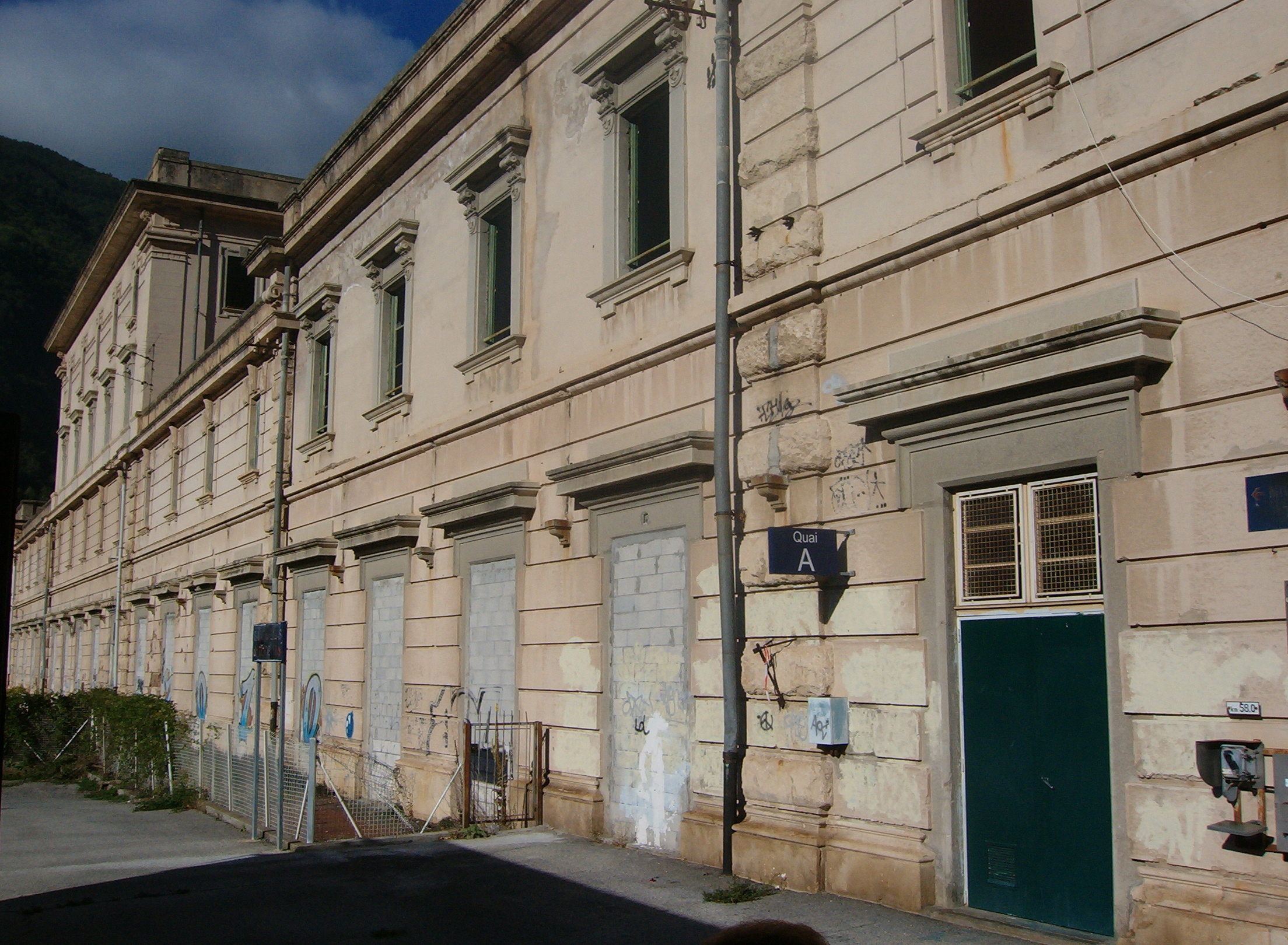
Needless to say then that protests began last year with the closure of some of the stations along the route – since then demonstration marches and conferences have shown how passionate people are about keeping the line and its stations open.
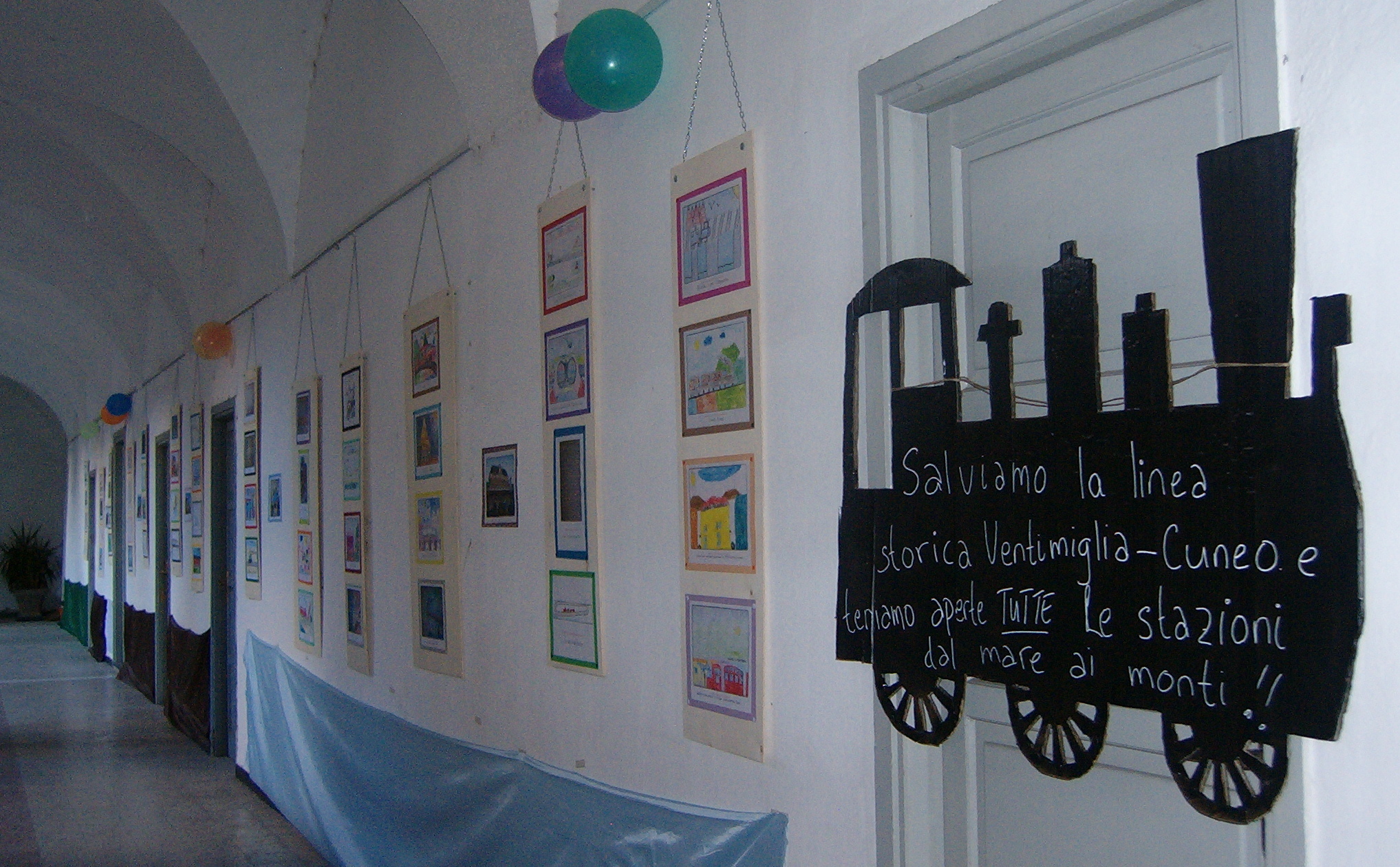
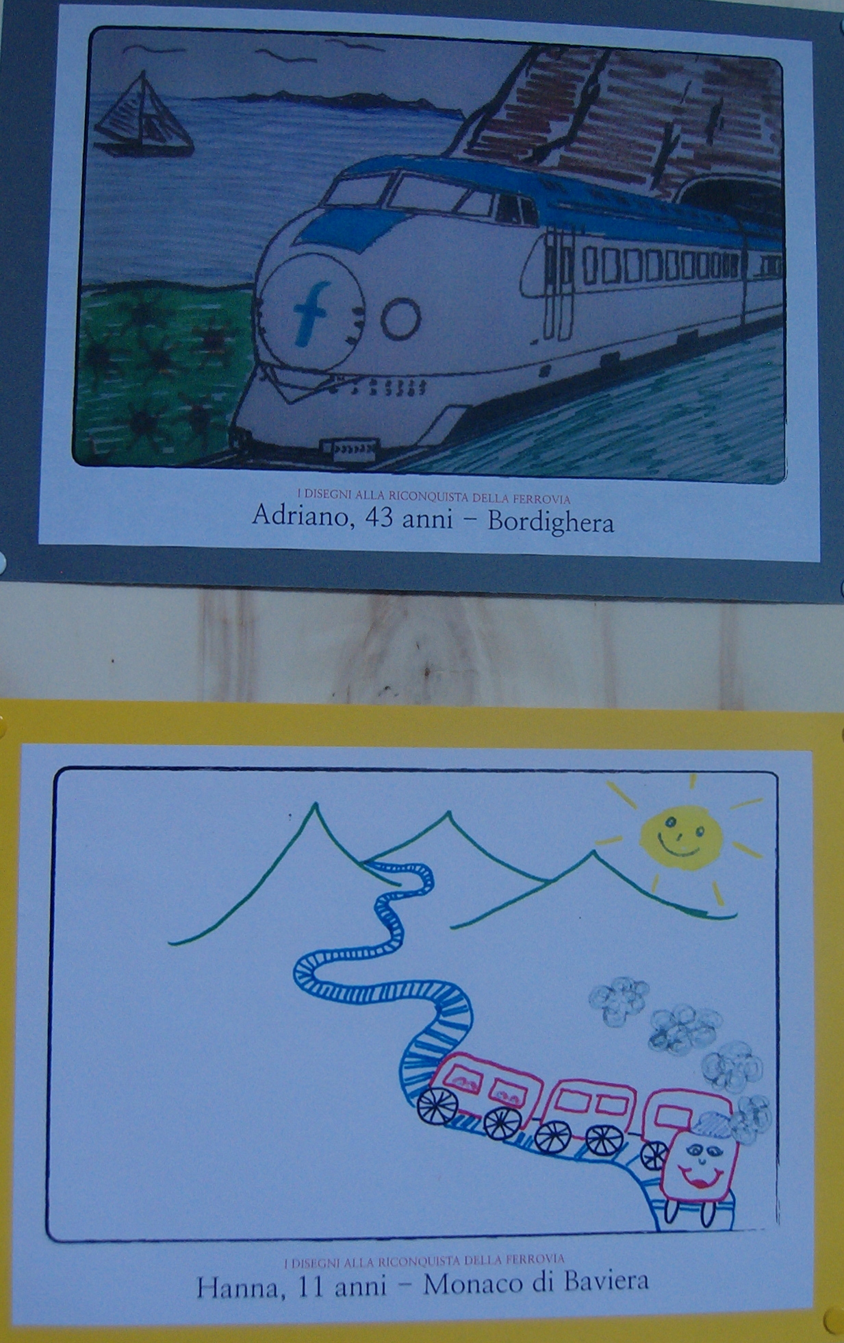
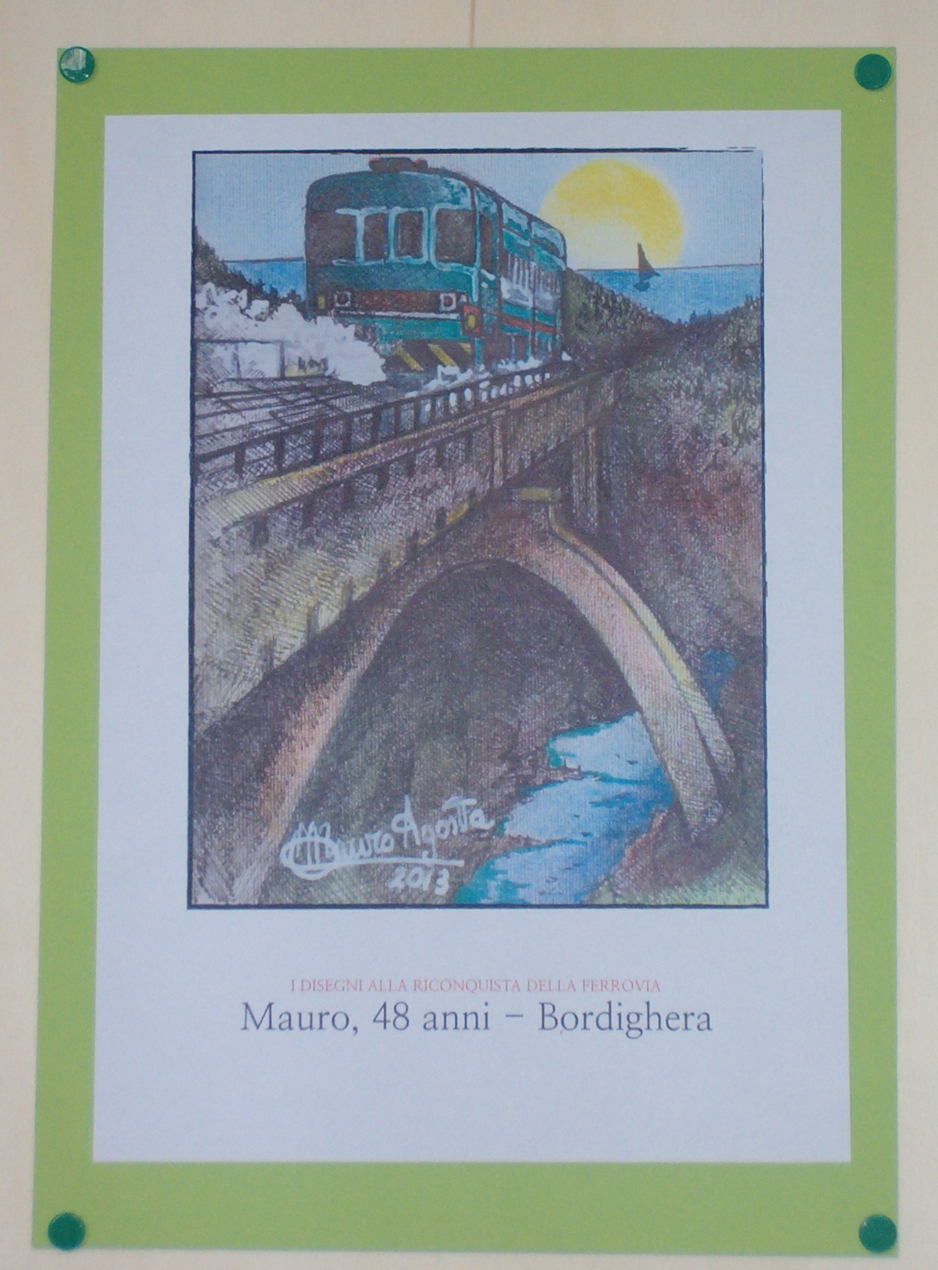
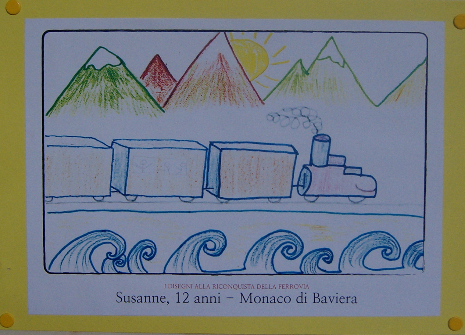
This weekend’s activities began with the inauguration of an exhibition of drawings entered in a Europe-wide competition entitled “I disegni alla riconquista della ferrovia”.


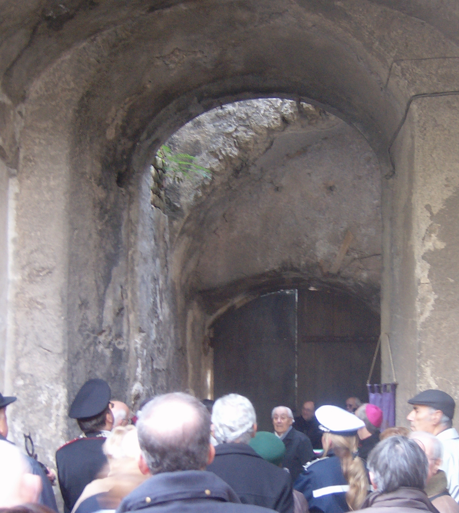
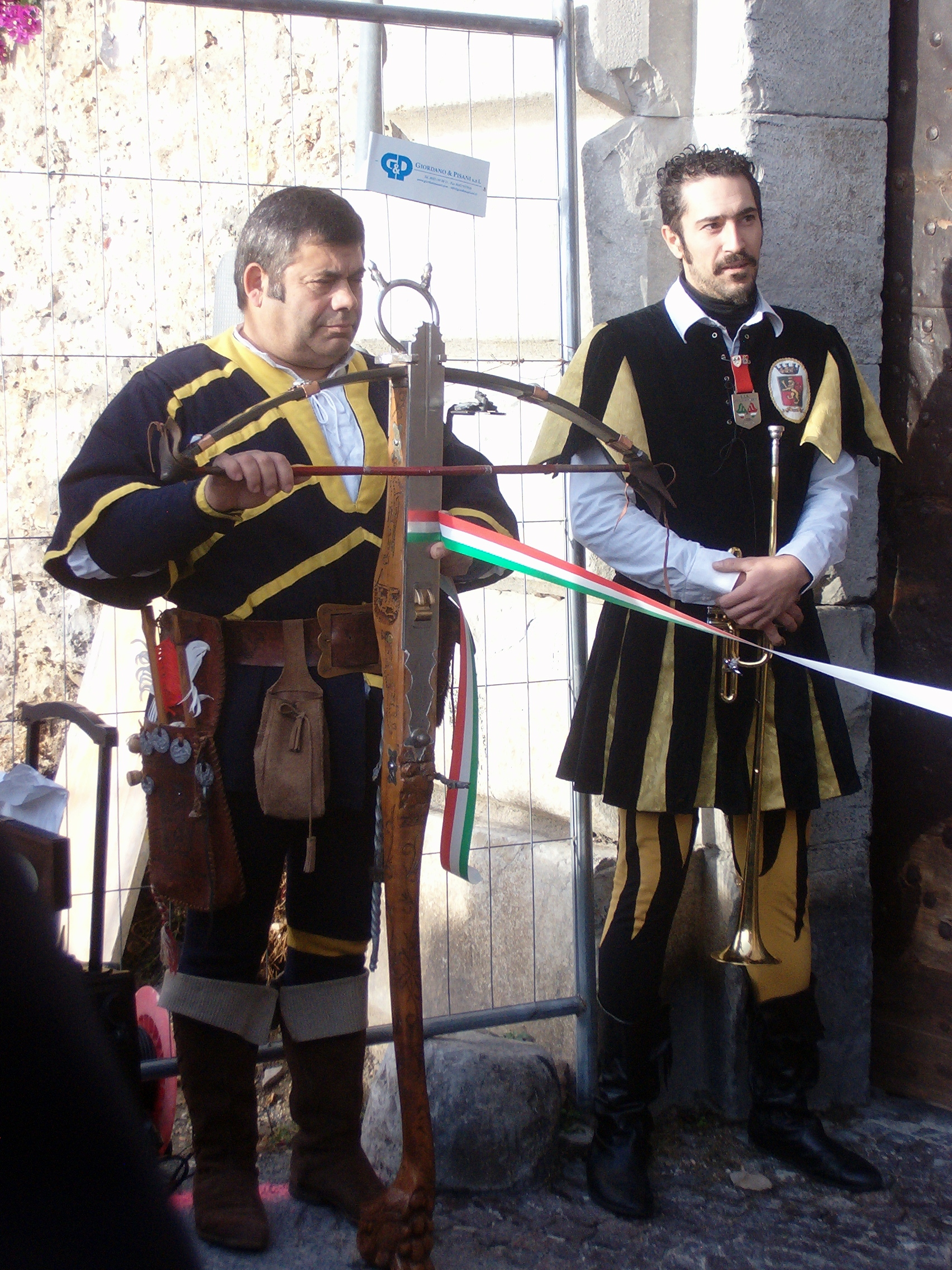
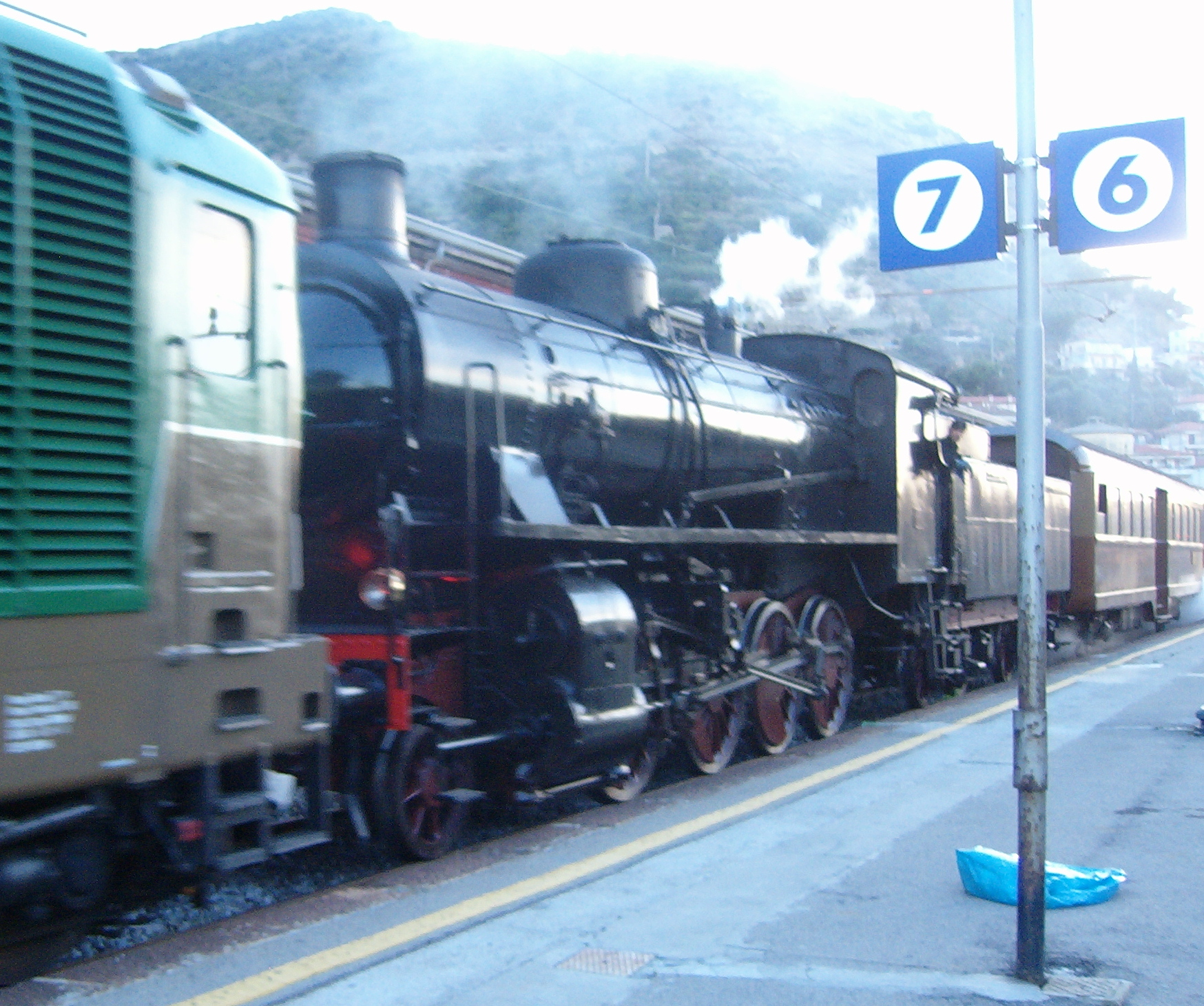
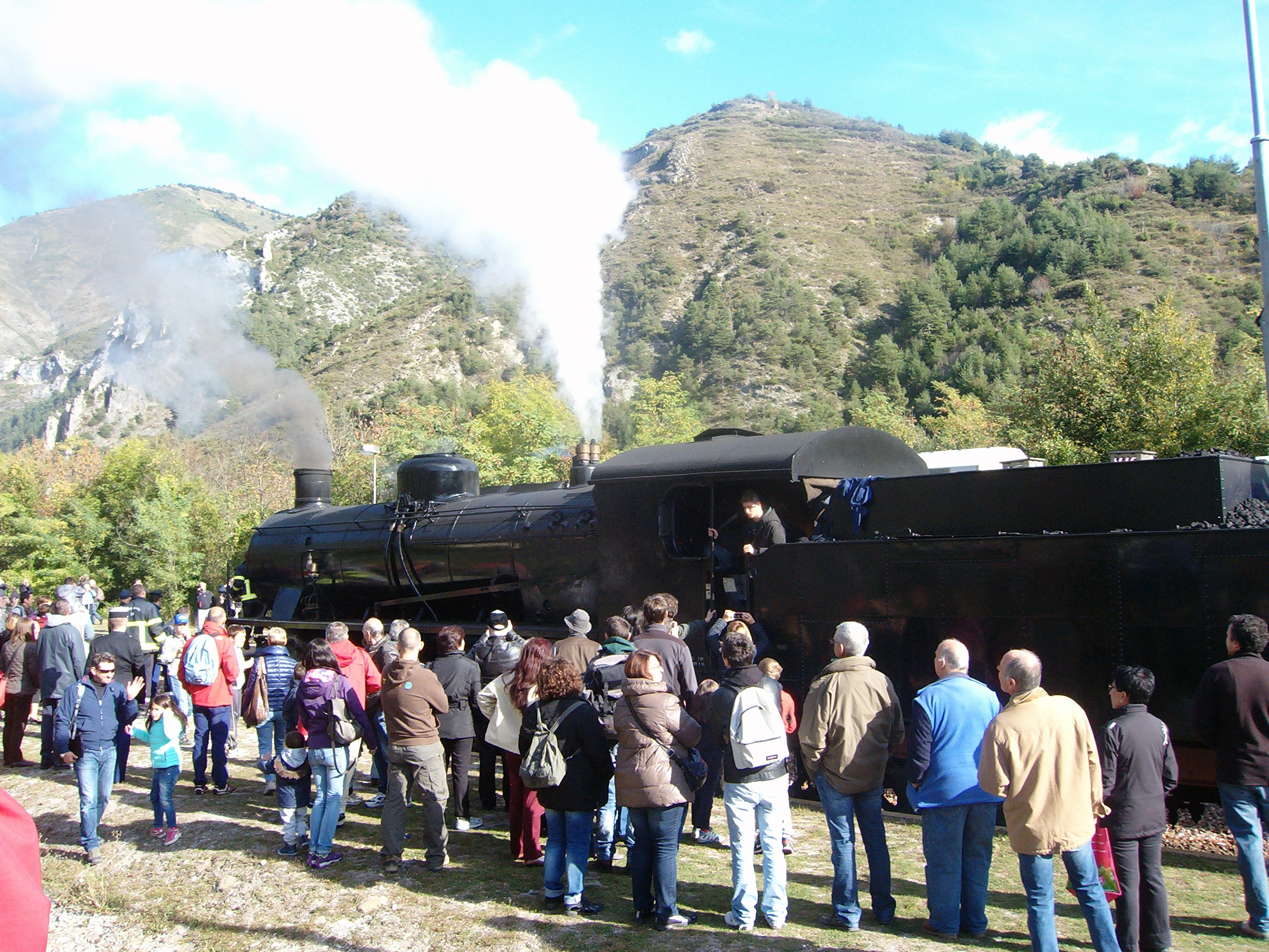
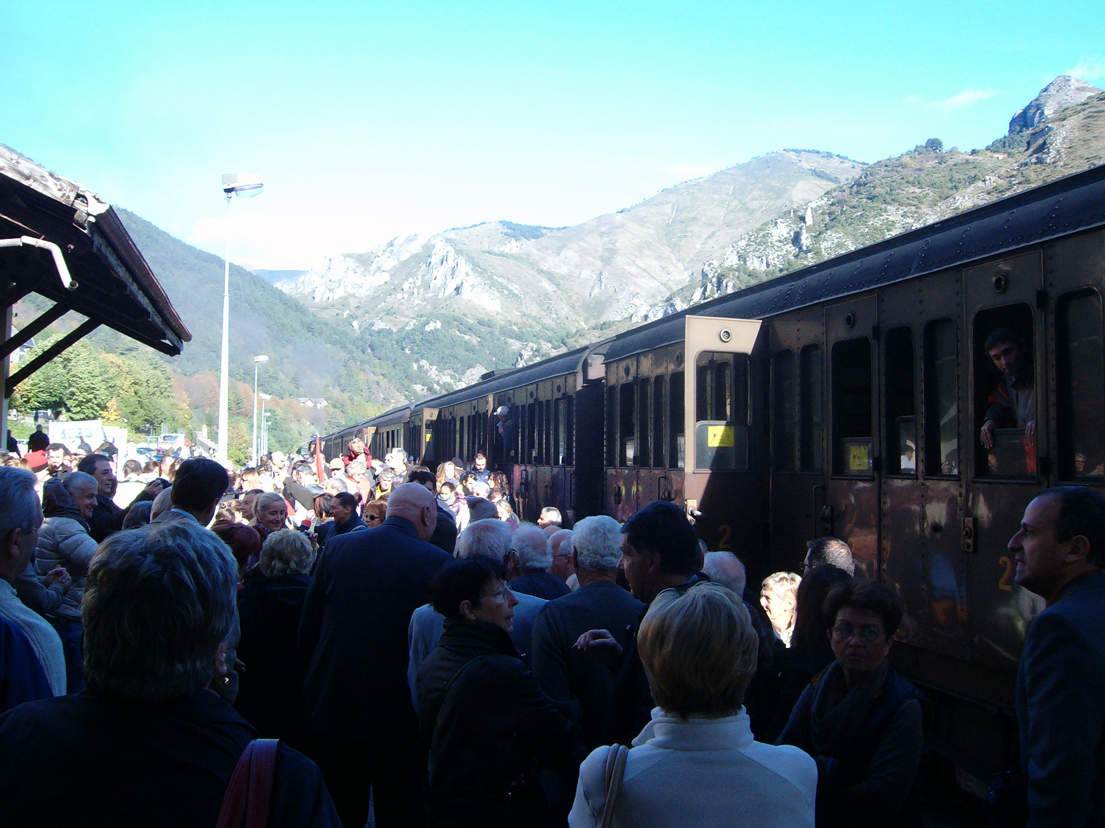
Yesterday (Sunday) a steam engine travelled up the valley from Ventimiglia to Tenda as part of the centenary celebrations of the arrival there of the first train from Cuneo on 7th September 1913. Judging by the enthusiastic throng and the festive atmosphere in Tenda yesterday keeping this railway route alive is a real must for many: to quote the Mayors of Tenda and Limone “It is the valley’s umbilical cord!” and “Long live the Ventimiglia-Cuneo railway line!”.