Of Ventimiglia Alta’s eight town gateways the only one that can’t actually be walked through today is the Porta del Ciòussu. The word ciòussu derives from ciòuxe, a Ligurian dialect word meaning enclosure, since this was once the gateway to an area inside the walls, leading to number of vegetable gardens which helped the town survive when it was under siege. Originally the area was a very steep-sided ravine: in order to cultivate the area, it was terraced with a series of dry stone walls which are often around two metres high and linked by stone steps and ramps.

The green Ciòussu area and the gateway in the mid-ground
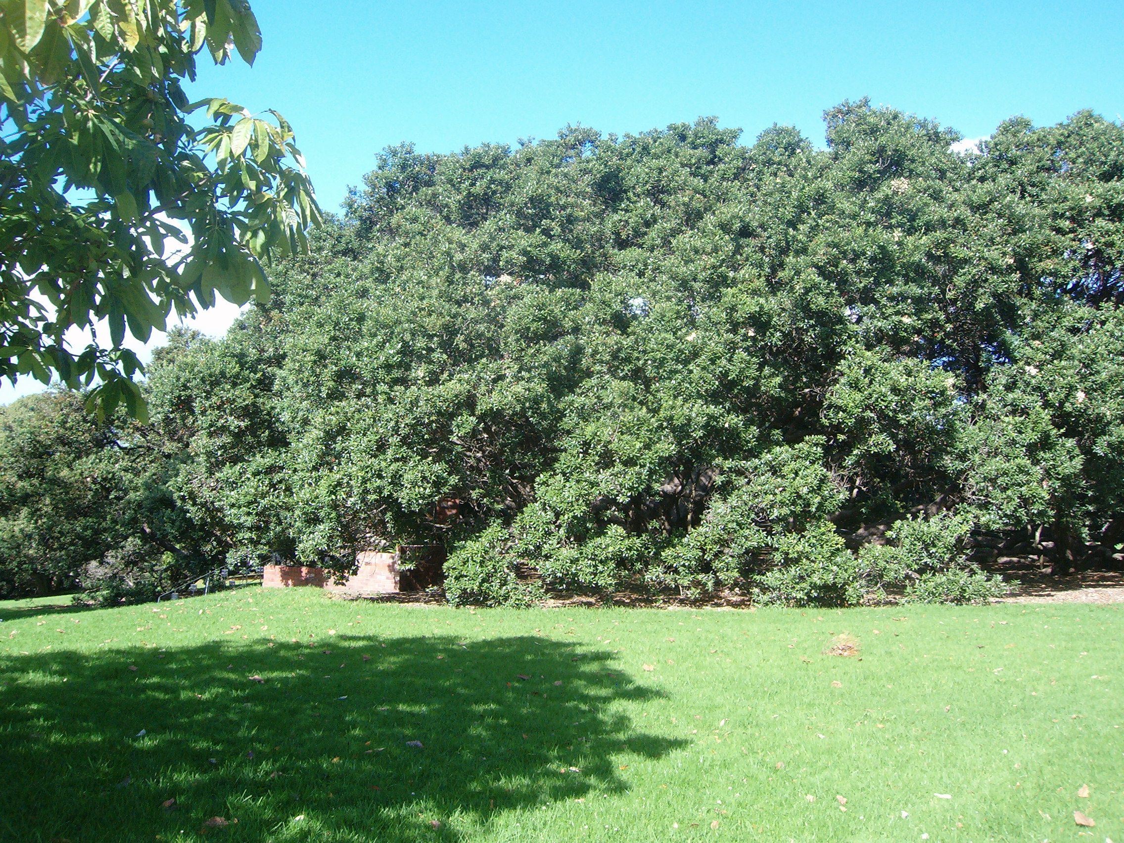
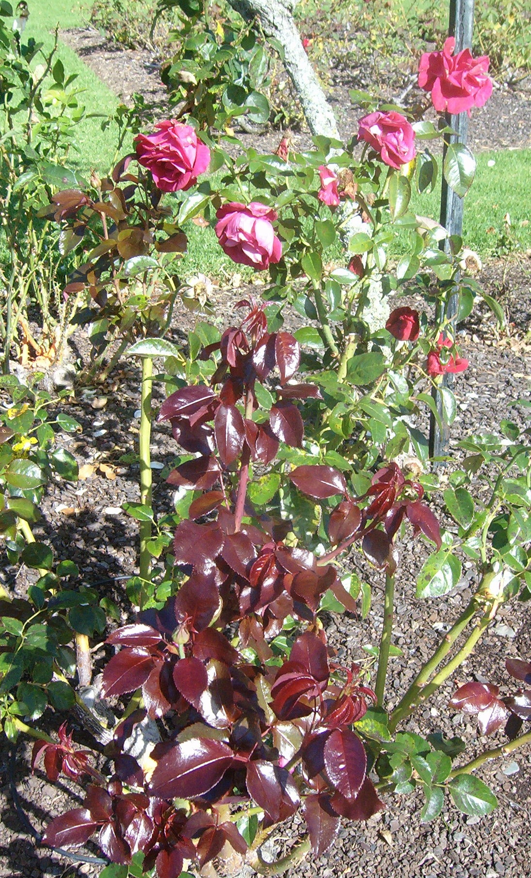
The Ciòussu is in fact still Ventimiglia Alta’s green heart: a number of vegetable gardens and orchards thrive there. A natural spring in a cleft in the rock provides a good supply of irrigation water for three of these gardens, so it is a haven for frogs too.
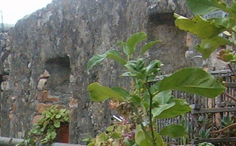
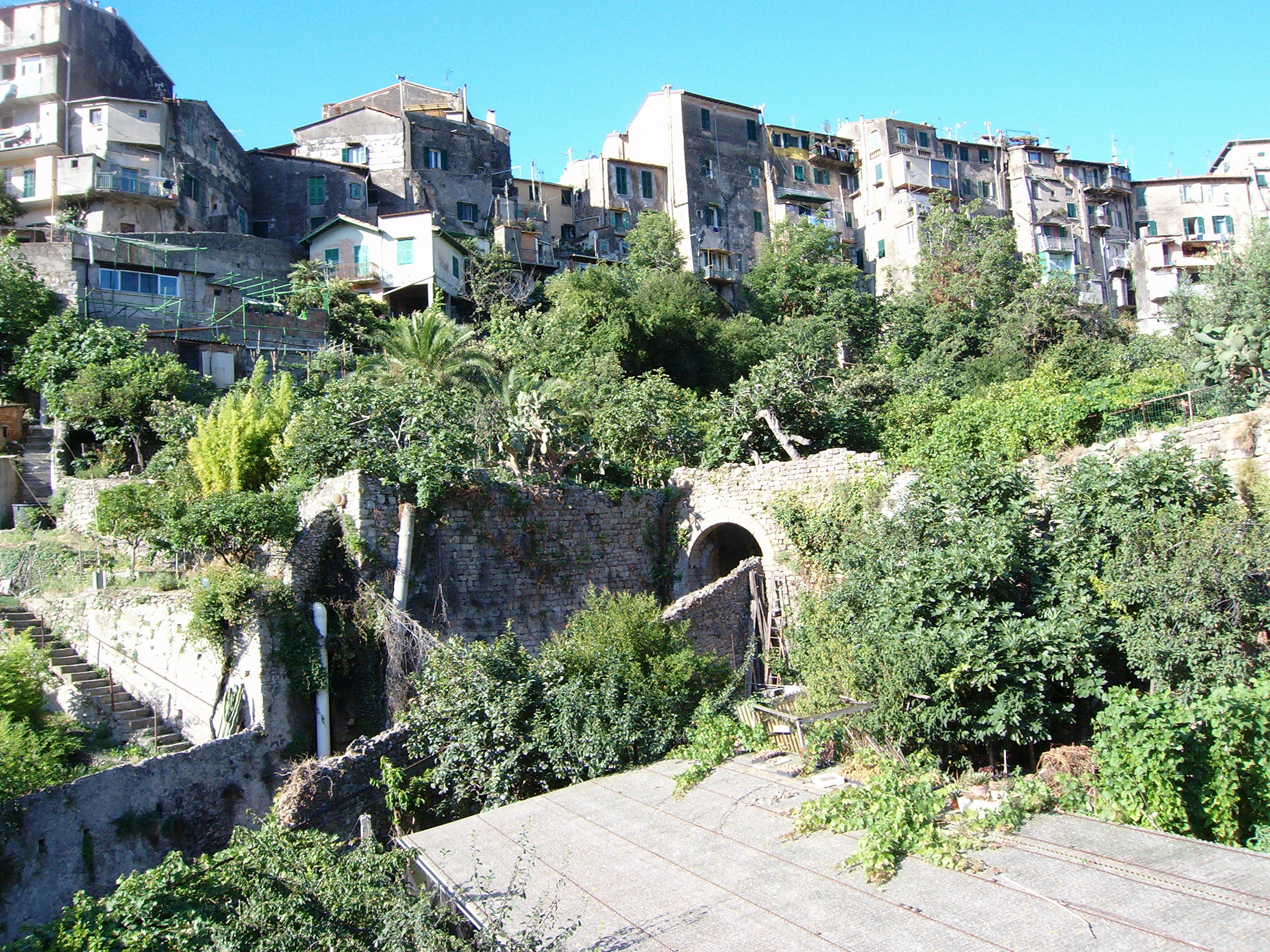
Last blog post I showed you my vegetable garden: it is situated on the shady north-facing side of the Ciòussu. Along our garden’s northern boundary there’s a steep drop down onto a completely overgrown pathway that passes under the archway of the Ciòussu Gateway. below are two views of the Ciòussu gateway taken from the vegetable garden.


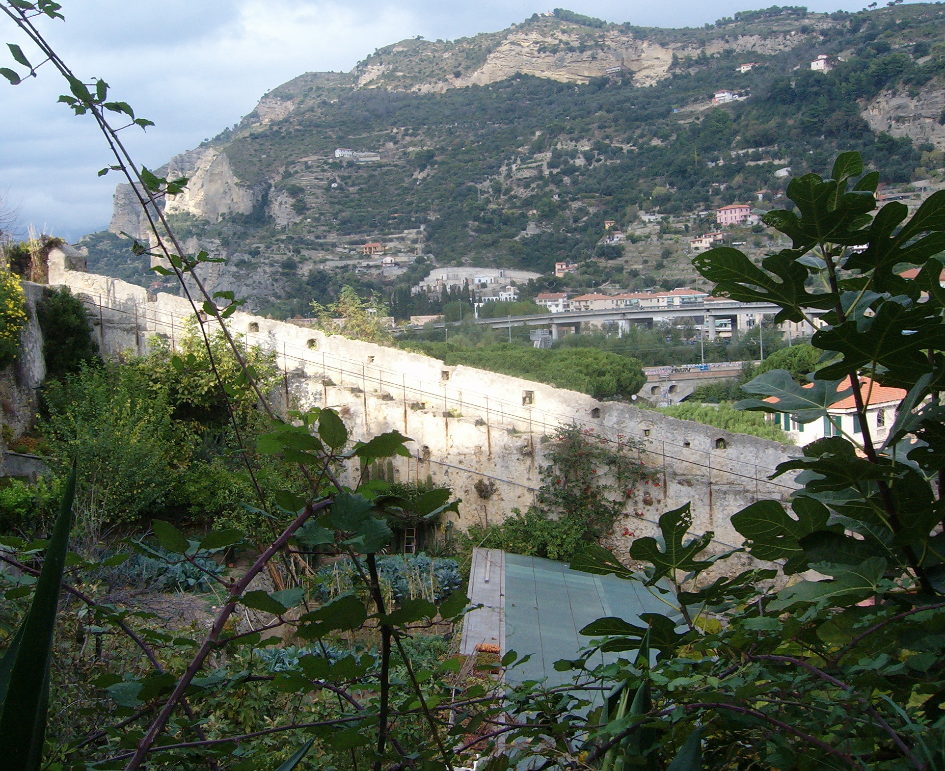
Although it’s impossible to walk along the pathway nowadays you can get a great view of the gateway from La Scala Santa – a stepped walkway attached to the town’s main fortification wall on the sunny, south-facing side of the Ciòussu.

The gateway dates from the 13th century. Of the eight gateways, this is the only one that still has the original simple but elegant, rounded archway. The pathway that it guarded led from the river – where at that time a lake-like area had formed that was used as a sort of river-port – to the northern area of Ventimiglia Alta in Via Piemonte where the main focus of activity would have been around San Michele church, built in the 10th century, and Porta Piemonte gateway, which opened onto the main route inland to northern Italy.
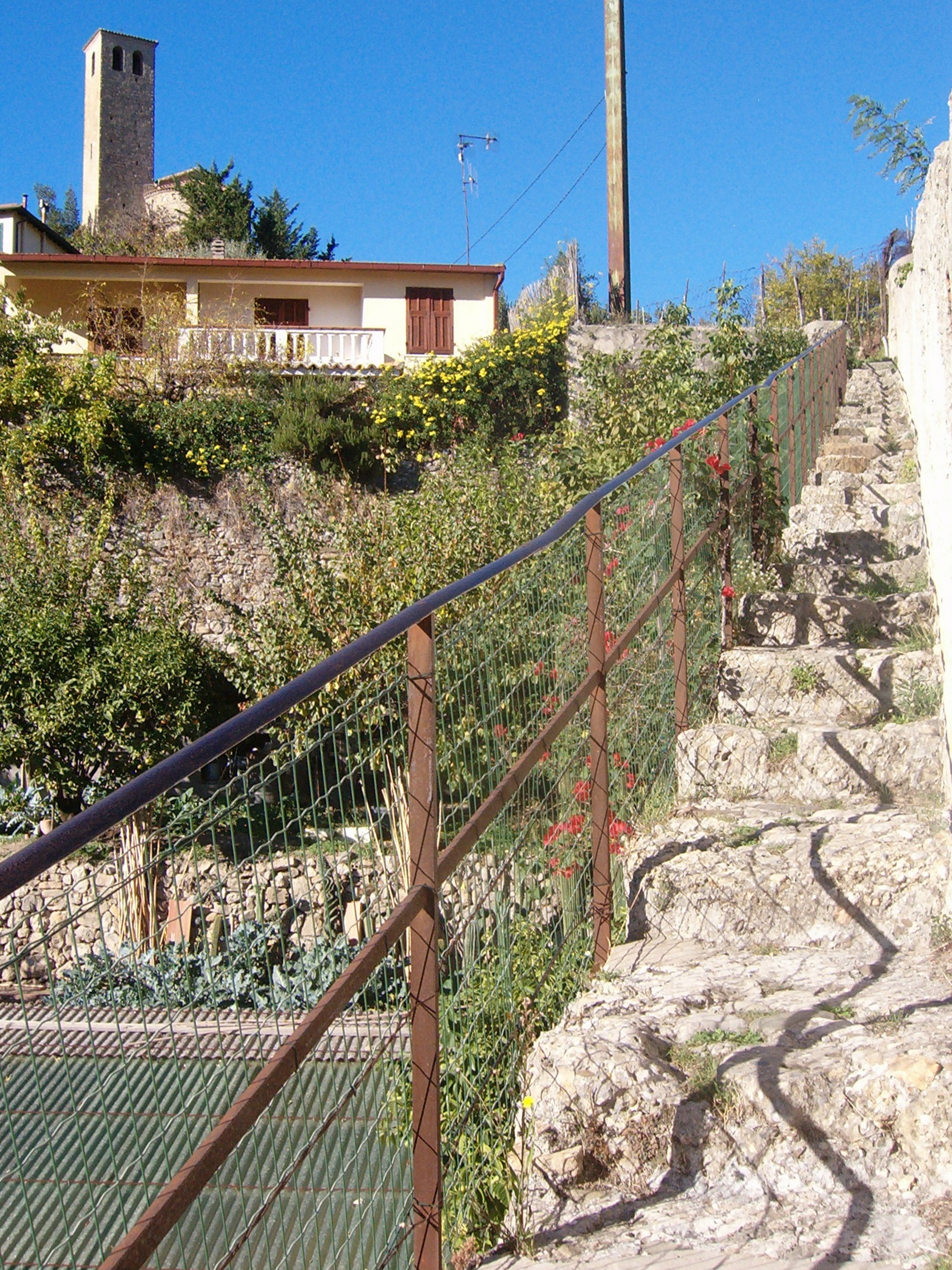
Access to the lower end of La Scala Santa is from the Borgo area at the foot of Ventimiglia Alta, near the river. Walk along in front of the shops and turn into Vico Molino. This leads to the Scala Santa. There’s a gateway on your left just before you come to the steps – this is where you would have turned to take the path through the Ciòussu and up into the town. About half way up the steps you can see the Ciòussu gateway very clearly, and looking straight down you can admire a small cactus and succulent nursery.

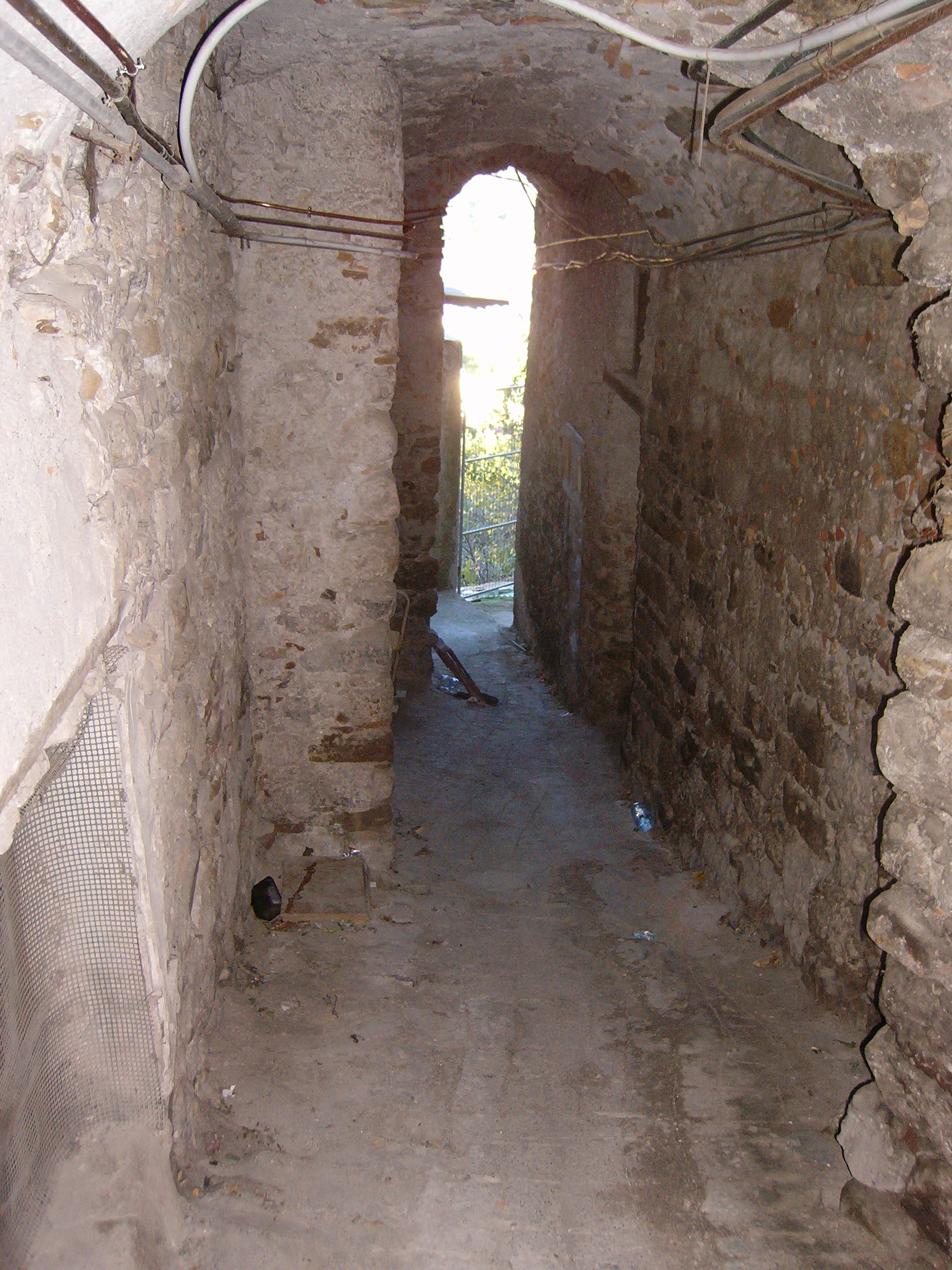
Under this archway and to the left, a gate bars access to the heavily overgrown Ciòussu pathway. This archway in the town’s fortification wall is where Vico Molino meets La Scala Santa.

The Scala Santa with San Michele church’s fortified bell tower on the skyline.
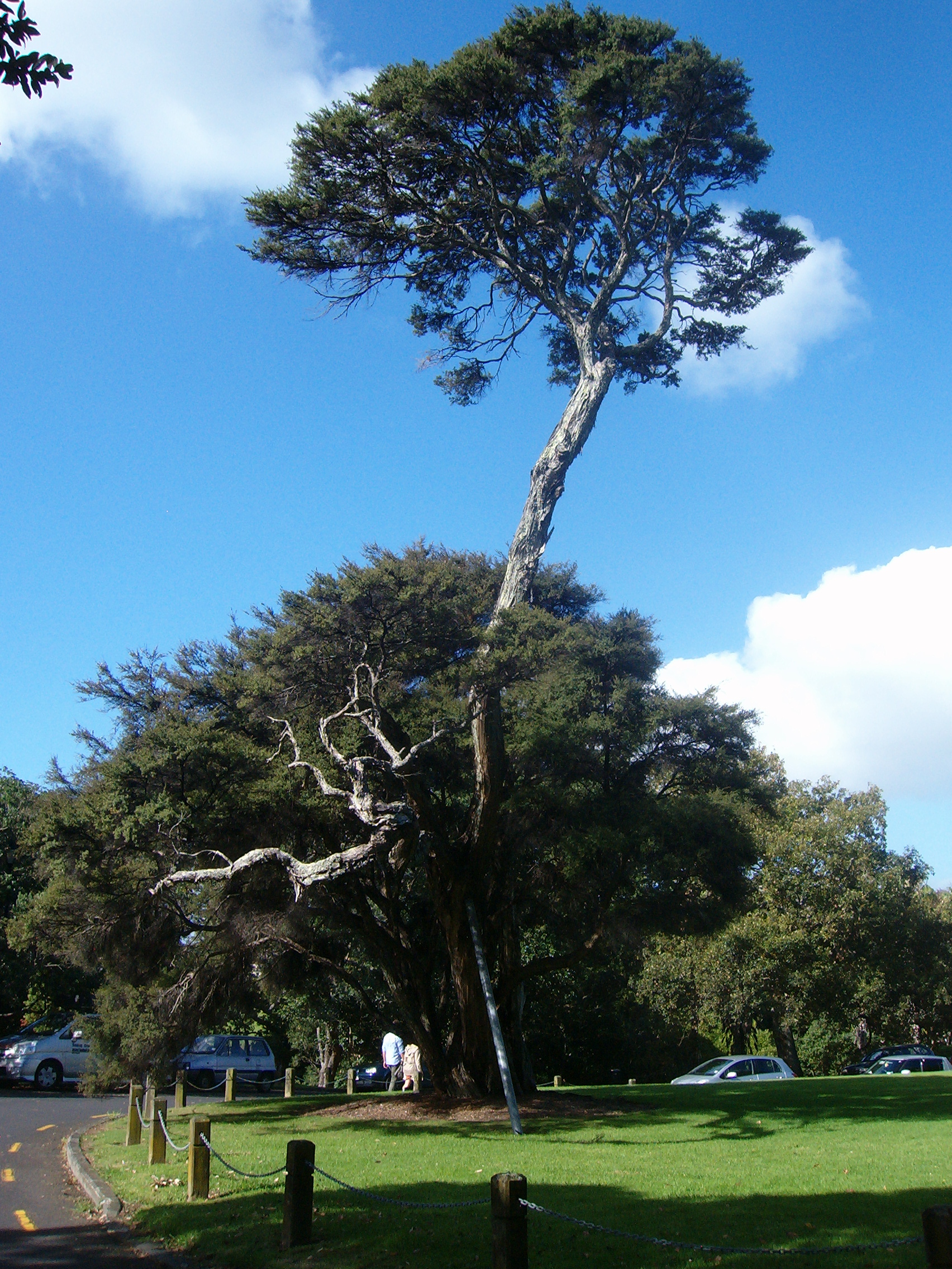
La Scala Santa, meaning The Holy Stairs, probably gets its name from being a route for pilgrims to reach San Michele church. At the top of the steps, more vegetable gardens line the path on one side and on the other side doors and gates in a stone wall open into private homes and their gardens.


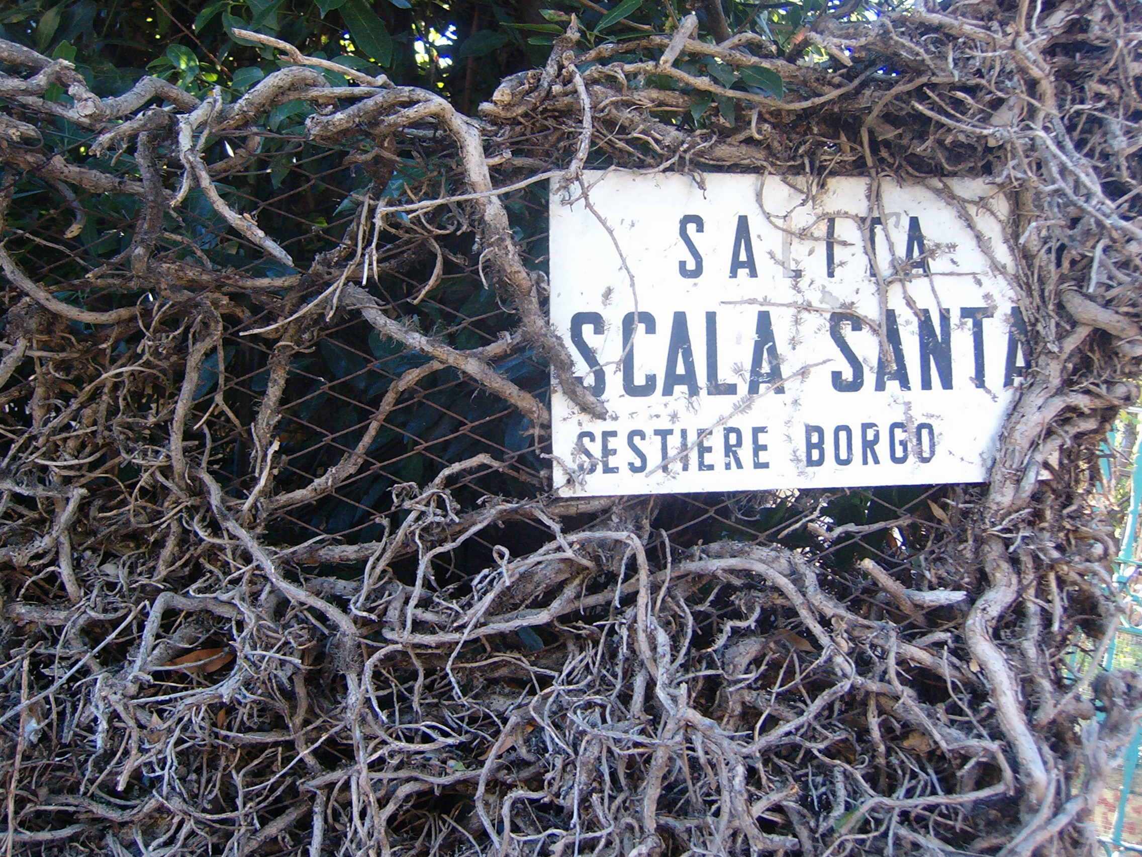
The E Foltzer Touring Oil sign dates from the 1920s and is incorporated in a hedge in the Scala Santa, while the street sign is entangled in a network of ivy.
The two views below were taken from the top of the Ciòussu area, looking down to where the pathway would have been (photo on left) and looking through the archway under the houses in Via Piemonte where the pathway would have reached the town (photo on right).